Distance to Ozark, Kentucky

Calculating Your Route
Just a moment while we process your request...
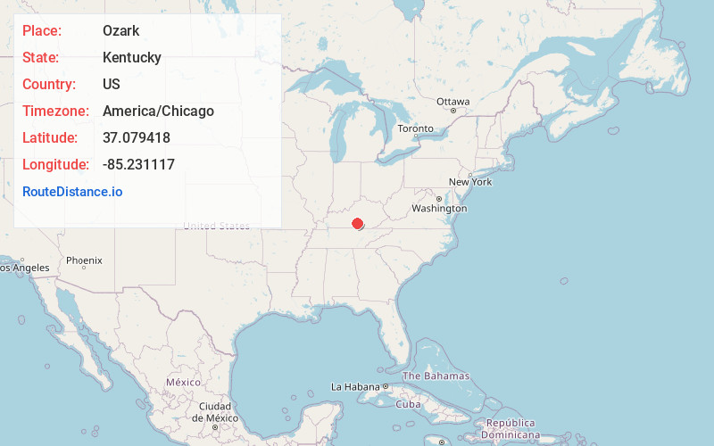
Location Information
-
Full AddressOzark, KY 42728
-
Coordinates37.0794179, -85.231117
-
LocationOzark , Kentucky , US
-
TimezoneAmerica/Chicago
-
Current Local Time11:31:09 PM America/ChicagoTuesday, June 3, 2025
-
Page Views0
About Ozark
Ozark is an unincorporated community in Adair County, Kentucky, United States located along the Louie B Nunn Cumberland Parkway and east of Columbia, Kentucky. Its elevation is 883 feet.
Nearby Places
Found 10 places within 50 miles

Craycraft
1.8 mi
2.9 km
Craycraft, KY 42728
Get directions
Joppa
2.0 mi
3.2 km
Joppa, KY 42728
Get directions
Garlin
2.7 mi
4.3 km
Garlin, KY 42728
Get directions
Gentrys Mill
4.3 mi
6.9 km
Gentrys Mill, KY 42642
Get directions

Columbia
4.5 mi
7.2 km
Columbia, KY 42728
Get directions
Christine
4.6 mi
7.4 km
Christine, KY 42728
Get directions
Glens Fork
4.6 mi
7.4 km
Glens Fork, KY 42728
Get directions
Montpelier
4.9 mi
7.9 km
Montpelier, KY 42642
Get directions
Purdy
5.6 mi
9.0 km
Purdy, KY 42728
Get directions

Fairplay
6.1 mi
9.8 km
Fairplay, KY 42728
Get directions
Location Links
Local Weather
Weather Information
Coming soon!
Location Map
Static map view of Ozark, Kentucky
Browse Places by Distance
Places within specific distances from Ozark
Short Distances
Long Distances
Click any distance to see all places within that range from Ozark. Distances shown in miles (1 mile ≈ 1.61 kilometers).