Distance to Pablo Keys, Florida

Calculating Your Route
Just a moment while we process your request...
Location Information
-
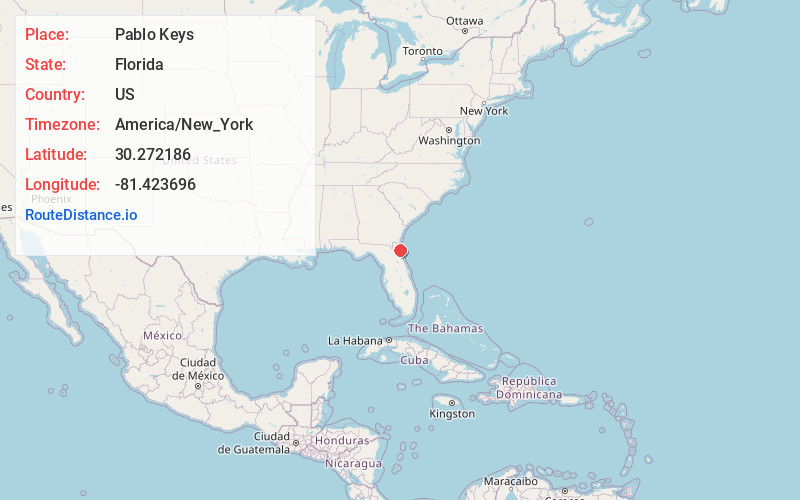
Full AddressPablo Keys, Jacksonville, FL 32250
-
Coordinates30.2721859, -81.4236961
-
NeighborhoodSouthside
-
LocationJacksonville , Florida , US
-
TimezoneAmerica/New_York
-
Current Local Time5:17:42 AM America/New_YorkWednesday, June 18, 2025
-
Page Views0
Nearby Places
Found 10 places within 50 miles

Neptune Beach
3.2 mi
5.1 km
Neptune Beach, FL
Get directions

Atlantic Beach
4.6 mi
7.4 km
Atlantic Beach, FL
Get directions

Sawgrass
6.3 mi
10.1 km
Sawgrass, FL 32082
Get directions

Palm Valley
6.9 mi
11.1 km
Palm Valley, FL 32082
Get directions

Nocatee
11.5 mi
18.5 km
Nocatee, FL
Get directions

Hilden
14.3 mi
23.0 km
Hilden, FL 32095
Get directions

Jacksonville
14.6 mi
23.5 km
Jacksonville, FL
Get directions

Fruit Cove
17.1 mi
27.5 km
Fruit Cove, FL 32259
Get directions
Whites Ford
17.9 mi
28.8 km
Whites Ford, FL 32092
Get directions

Orange Park
18.4 mi
29.6 km
Orange Park, FL 32073
Get directions
Location Links
Local Weather
Weather Information
Coming soon!
Location Map
Static map view of Pablo Keys, Florida
Browse Places by Distance
Places within specific distances from Pablo Keys
Short Distances
Long Distances
Click any distance to see all places within that range from Pablo Keys. Distances shown in miles (1 mile ≈ 1.61 kilometers).