Distance to Pachaug, Connecticut

Calculating Your Route
Just a moment while we process your request...
Location Information
-
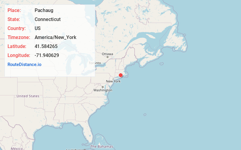
Full AddressPachaug, Griswold, CT 06351
-
Coordinates41.5842652, -71.9406294
-
LocationGriswold , Connecticut , US
-
TimezoneAmerica/New_York
-
Current Local Time5:15:35 AM America/New_YorkFriday, June 20, 2025
-
Page Views0
Nearby Places
Found 10 places within 50 miles

Doaneville Pond
3.7 mi
6.0 km
Doaneville Pond, Connecticut
Get directions

Quinebaug Falls
5.6 mi
9.0 km
Quinebaug Falls, Preston, CT 06365
Get directions

Ekonk
6.4 mi
10.3 km
Ekonk, Sterling, CT 06354
Get directions
Shewville
7.2 mi
11.6 km
Shewville, Preston, CT 06365
Get directions

Norwich
8.1 mi
13.0 km
Norwich, CT
Get directions

Poquetanuck Cove
9.6 mi
15.4 km
Poquetanuck Cove, Connecticut
Get directions
Hopkins Hollow
11.4 mi
18.3 km
Hopkins Hollow, Coventry, RI 02827
Get directions

Hopkinton
11.9 mi
19.2 km
Hopkinton, RI
Get directions
Quakertown
12.5 mi
20.1 km
Quakertown, Ledyard, CT 06339
Get directions

Montville
13.9 mi
22.4 km
Montville, CT
Get directions
Location Links
Local Weather
Weather Information
Coming soon!
Location Map
Static map view of Pachaug, Connecticut
Browse Places by Distance
Places within specific distances from Pachaug
Short Distances
Long Distances
Click any distance to see all places within that range from Pachaug. Distances shown in miles (1 mile ≈ 1.61 kilometers).