Distance to Pacheco, California

Calculating Your Route
Just a moment while we process your request...
Location Information
-
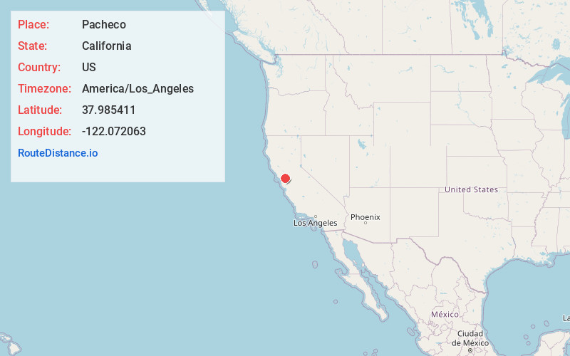
Full AddressPacheco, CA
-
Coordinates37.9854114, -122.0720633
-
LocationPacheco , California , US
-
TimezoneAmerica/Los_Angeles
-
Current Local Time11:30:23 PM America/Los_AngelesThursday, June 26, 2025
-
Page Views0
About Pacheco
Pacheco is a census-designated place in Contra Costa County, California. The population was 4,183 at the 2020 census. It is bounded by Martinez to the north and west, Concord to the east, and Pleasant Hill to the south.

Nearby Places
Found 10 places within 50 miles

Concord
2.5 mi
4.0 km
Concord, CA
Get directions

Pleasant Hill
2.7 mi
4.3 km
Pleasant Hill, CA
Get directions

Martinez
4.1 mi
6.6 km
Martinez, CA 94553
Get directions

Walnut Creek
5.2 mi
8.4 km
Walnut Creek, CA
Get directions

Benicia
6.5 mi
10.5 km
Benicia, CA
Get directions

Bay Point
6.7 mi
10.8 km
Bay Point, CA
Get directions

Saranap
6.9 mi
11.1 km
Saranap, CA 94595
Get directions

Lafayette
7.3 mi
11.7 km
Lafayette, CA
Get directions

Clayton
8.0 mi
12.9 km
Clayton, CA
Get directions

Orinda
9.5 mi
15.3 km
Orinda, CA
Get directions
Location Links
Local Weather
Weather Information
Coming soon!
Location Map
Static map view of Pacheco, California
Browse Places by Distance
Places within specific distances from Pacheco
Short Distances
Long Distances
Click any distance to see all places within that range from Pacheco. Distances shown in miles (1 mile ≈ 1.61 kilometers).