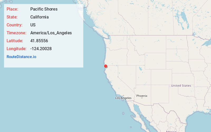
Distance to Pacific Shores, California

Calculating Your Route
Just a moment while we process your request...
Location Information
-
Full AddressPacific Shores, CA 95531
-
Coordinates41.8555599, -124.20028
-
LocationPacific Shores , California , US
-
TimezoneAmerica/Los_Angeles
-
Current Local Time6:35:09 AM America/Los_AngelesSunday, June 1, 2025
-
Page Views0
About Pacific Shores
Pacific Shores is an unincorporated community in Del Norte County, California. The population at the 2010 census was 0 people. It lies at an elevation of 20 feet. It contains an abundance of streets laid out in more or less a grid.

Nearby Places
Found 10 places within 50 miles

Fort Dick
2.7 mi
4.3 km
Fort Dick, CA 95531
Get directions

Tryon Corner
3.2 mi
5.1 km
Tryon Corner, CA 95531
Get directions

Yontocket
3.6 mi
5.8 km
Yontocket, CA 95531
Get directions

Smith River
5.9 mi
9.5 km
Smith River, CA
Get directions

Crescent City
6.9 mi
11.1 km
Crescent City, CA
Get directions

Bertsch-Oceanview
7.3 mi
11.7 km
Bertsch-Oceanview, CA 95531
Get directions

Hiouchi
7.9 mi
12.7 km
Hiouchi, CA 95531
Get directions
Douglas Park
8.5 mi
13.7 km
Douglas Park, CA 95531
Get directions

Gasquet
11.9 mi
19.2 km
Gasquet, CA 95543
Get directions
Darlingtonia
13.6 mi
21.9 km
Darlingtonia, CA 95543
Get directions
Location Links
Local Weather
Weather Information
Coming soon!
Location Map
Static map view of Pacific Shores, California
Browse Places by Distance
Places within specific distances from Pacific Shores
Short Distances
Long Distances
Click any distance to see all places within that range from Pacific Shores. Distances shown in miles (1 mile ≈ 1.61 kilometers).