Distance to Packs Branch, West Virginia

Calculating Your Route
Just a moment while we process your request...
Location Information
-
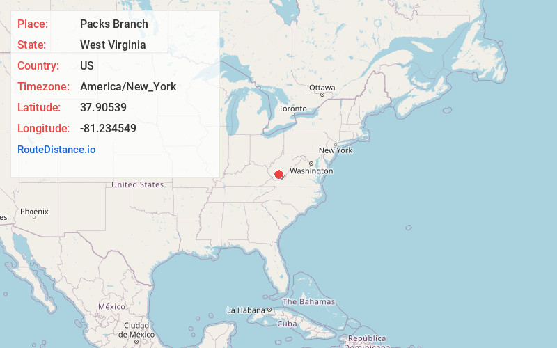
Full AddressPacks Branch, WV 25880
-
Coordinates37.9053896, -81.2345487
-
LocationWest Virginia , US
-
TimezoneAmerica/New_York
-
Current Local Time5:17:24 AM America/New_YorkWednesday, June 18, 2025
-
Page Views0
About Packs Branch
Packs Branch is an unincorporated community in Fayette County, West Virginia, United States. It was also called O'Neals.
The community was named after nearby Packs Branch.

Nearby Places
Found 10 places within 50 miles

Pax
1.6 mi
2.6 km
Pax, WV
Get directions

Maple Fork
2.4 mi
3.9 km
Maple Fork, WV 25880
Get directions
Cirtsville
2.4 mi
3.9 km
Cirtsville, WV 25880
Get directions
Lively
2.7 mi
4.3 km
Lively, WV 25917
Get directions
Kilsyth
3.0 mi
4.8 km
Kilsyth, WV 25880
Get directions

Plum Orchard Lake
3.1 mi
5.0 km
Plum Orchard Lake, West Virginia 25917
Get directions
Maynor
3.3 mi
5.3 km
Maynor, WV 25801
Get directions
Bradley
3.5 mi
5.6 km
Bradley, WV 25880
Get directions
Sun
3.7 mi
6.0 km
Sun, WV 25917
Get directions
Derryhale
3.9 mi
6.3 km
Derryhale, WV 25880
Get directions
Location Links
Local Weather
Weather Information
Coming soon!
Location Map
Static map view of Packs Branch, West Virginia
Browse Places by Distance
Places within specific distances from Packs Branch
Short Distances
Long Distances
Click any distance to see all places within that range from Packs Branch. Distances shown in miles (1 mile ≈ 1.61 kilometers).