Distance to Pacolet, South Carolina

Calculating Your Route
Just a moment while we process your request...
Location Information
-
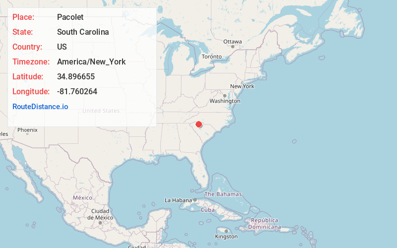
Full AddressPacolet, SC
-
Coordinates34.8966545, -81.7602641
-
LocationPacolet , South Carolina , US
-
TimezoneAmerica/New_York
-
Current Local Time8:05:40 PM America/New_YorkTuesday, June 24, 2025
-
Website
-
Page Views0
About Pacolet
Pacolet is a town in Spartanburg County, South Carolina, United States. The population was 2,235 at the 2010 census.


Nearby Places
Found 10 places within 50 miles

Ben Avon
7.3 mi
11.7 km
Ben Avon, SC 29302
Get directions

Spartanburg
10.5 mi
16.9 km
Spartanburg, SC
Get directions
Whitney Heights
10.9 mi
17.5 km
Whitney Heights, SC 29303
Get directions

Roebuck
11.7 mi
18.8 km
Roebuck, SC
Get directions
Saxon
12.6 mi
20.3 km
Saxon, SC
Get directions

Gaffney
13.6 mi
21.9 km
Gaffney, SC
Get directions

Arcadia
13.9 mi
22.4 km
Arcadia, SC
Get directions

Mayo
14.1 mi
22.7 km
Mayo, SC
Get directions
East Gaffney
14.6 mi
23.5 km
East Gaffney, SC
Get directions
Southern Shops
14.6 mi
23.5 km
Southern Shops, SC
Get directions
Location Links
Local Weather
Weather Information
Coming soon!
Location Map
Static map view of Pacolet, South Carolina
Browse Places by Distance
Places within specific distances from Pacolet
Short Distances
Long Distances
Click any distance to see all places within that range from Pacolet. Distances shown in miles (1 mile ≈ 1.61 kilometers).