Distance to Page County, Virginia

Calculating Your Route
Just a moment while we process your request...
Location Information
-
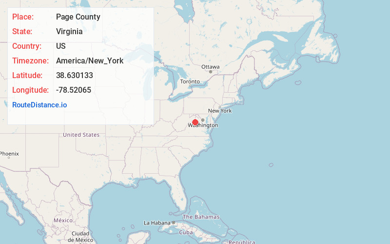
Full AddressPage County, VA
-
Coordinates38.6301331, -78.52065
-
LocationVirginia , US
-
TimezoneAmerica/New_York
-
Current Local Time4:26:01 AM America/New_YorkSaturday, June 14, 2025
-
Page Views0
About Page County
Page County is located in the Commonwealth of Virginia. As of the 2020 census, the population was 23,709. Its county seat is Luray. Page County was formed in 1831 from Shenandoah and Rockingham counties and was named for John Page, Governor of Virginia from 1802 to 1805.


Nearby Places
Found 10 places within 50 miles

Stanley
3.9 mi
6.3 km
Stanley, VA 22851
Get directions

Luray
4.1 mi
6.6 km
Luray, VA 22835
Get directions

Marksville
4.4 mi
7.1 km
Marksville, VA 22851
Get directions

New Market
8.2 mi
13.2 km
New Market, VA 22844
Get directions

Quicksburg
9.6 mi
15.4 km
Quicksburg, VA
Get directions

Mt Jackson
10.3 mi
16.6 km
Mt Jackson, VA
Get directions
Plains Mill
10.8 mi
17.4 km
Plains Mill, VA 22853
Get directions

Shenandoah National Park
11.3 mi
18.2 km
Shenandoah National Park, Virginia
Get directions
Goods Mill
11.5 mi
18.5 km
Goods Mill, VA 22650
Get directions

Edinburg
13.4 mi
21.6 km
Edinburg, VA 22824
Get directions
Location Links
Local Weather
Weather Information
Coming soon!
Location Map
Static map view of Page County, Virginia
Browse Places by Distance
Places within specific distances from Page County
Short Distances
Long Distances
Click any distance to see all places within that range from Page County. Distances shown in miles (1 mile ≈ 1.61 kilometers).