Distance to Pagosa Springs, Colorado

Calculating Your Route
Just a moment while we process your request...
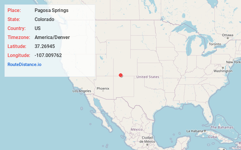
Location Information
-
Full AddressPagosa Springs, CO 81147
-
Coordinates37.26945, -107.0097617
-
LocationPagosa Springs , Colorado , US
-
TimezoneAmerica/Denver
-
Current Local Time10:43:09 PM America/DenverSunday, June 1, 2025
-
Website
-
Page Views0
About Pagosa Springs
Pagosa Springs is a town in southwest Colorado known for its hot springs. It’s surrounded by the rugged San Juan Mountains and vast areas of national forest. The San Juan River, with its abundant trout, runs through town. To the northeast, Wolf Creek Ski Area offers downhill runs and cross-country trails. Southwest, Chimney Rock National Monument features the ruins of ancient Ancestral Puebloan dwellings.


Nearby Places


Location Links
Local Weather
Weather Information
Coming soon!
Location Map
Static map view of Pagosa Springs, Colorado
Browse Places by Distance
Places within specific distances from Pagosa Springs
Short Distances
Long Distances
Click any distance to see all places within that range from Pagosa Springs. Distances shown in miles (1 mile ≈ 1.61 kilometers).