Distance to Paha, Washington

Calculating Your Route
Just a moment while we process your request...
Location Information
-
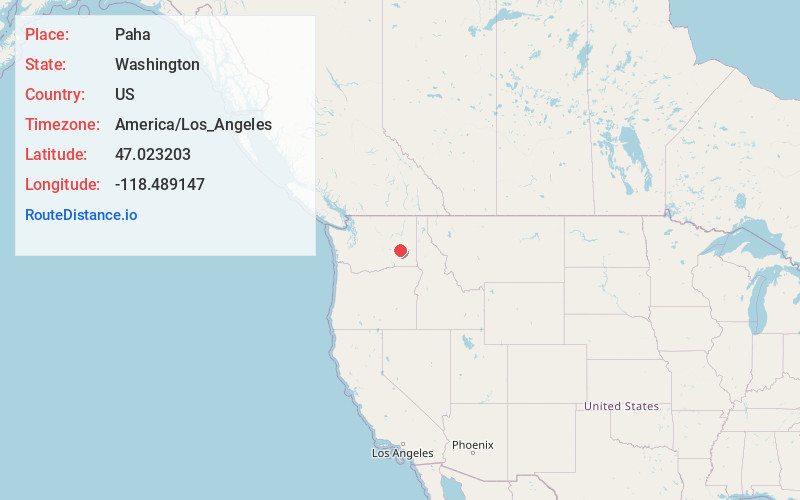
Full AddressPaha, WA 99169
-
Coordinates47.0232028, -118.4891466
-
LocationPaha , Washington , US
-
TimezoneAmerica/Los_Angeles
-
Current Local Time8:30:33 PM America/Los_AngelesSaturday, June 21, 2025
-
Page Views0
About Paha
Paha is an unincorporated community in Adams County, Washington, United States. It is located along BNSF Railway's Lakeside Subdivision. Paha is assigned the ZIP code 99169.
A post office called Paha was established in 1886, and remained in operation until 1943. The name Paha is Indian in origin.

Nearby Places
Found 10 places within 50 miles

Pizarro
5.5 mi
8.9 km
Pizarro, WA 99169
Get directions

Lind
6.9 mi
11.1 km
Lind, WA 99341
Get directions

Ralston
7.4 mi
11.9 km
Ralston, WA 99169
Get directions

Ritzville
8.8 mi
14.2 km
Ritzville, WA 99169
Get directions

Packard
13.2 mi
21.2 km
Packard, WA 99169
Get directions
Thavis
13.5 mi
21.7 km
Thavis, WA 99169
Get directions

Marengo
14.2 mi
22.9 km
Marengo, WA 99169
Get directions
Servia
14.3 mi
23.0 km
Servia, WA 99341
Get directions
Schoonover
15.0 mi
24.1 km
Schoonover, WA 99159
Get directions
Marcellus
15.1 mi
24.3 km
Marcellus, WA 99169
Get directions
Location Links
Local Weather
Weather Information
Coming soon!
Location Map
Static map view of Paha, Washington
Browse Places by Distance
Places within specific distances from Paha
Short Distances
Long Distances
Click any distance to see all places within that range from Paha. Distances shown in miles (1 mile ≈ 1.61 kilometers).