Distance to Pailo, Tennessee

Calculating Your Route
Just a moment while we process your request...
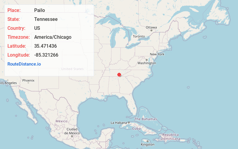
Location Information
-
Full AddressPailo, TN 37327
-
Coordinates35.471436, -85.321266
-
LocationPailo , Tennessee , US
-
TimezoneAmerica/Chicago
-
Current Local Time4:53:40 AM America/ChicagoWednesday, June 4, 2025
-
Page Views0
About Pailo
Pailo is an unincorporated community in Bledsoe County, Tennessee. It lies along U.S. Route 127 southwest of the city of Pikeville, the county seat of Bledsoe County.
Nearby Places
Found 10 places within 50 miles

Dunlap
7.9 mi
12.7 km
Dunlap, TN 37327
Get directions

Center Point
10.9 mi
17.5 km
Center Point, TN 37327
Get directions
Laurel Brook
11.9 mi
19.2 km
Laurel Brook, TN 37321
Get directions

Pikeville
11.9 mi
19.2 km
Pikeville, TN 37367
Get directions
Graysville
13.4 mi
21.6 km
Graysville, TN
Get directions

Sale Creek
13.4 mi
21.6 km
Sale Creek, TN
Get directions
Mowbray Mountain
14.0 mi
22.5 km
Mowbray Mountain, TN 37379
Get directions
Cranmore Cove
15.4 mi
24.8 km
Cranmore Cove, TN 37321
Get directions
Collins
15.6 mi
25.1 km
Collins, TN 37365
Get directions

Palmer
16.2 mi
26.1 km
Palmer, TN 37365
Get directions
Location Links
Local Weather
Weather Information
Coming soon!
Location Map
Static map view of Pailo, Tennessee
Browse Places by Distance
Places within specific distances from Pailo
Short Distances
Long Distances
Click any distance to see all places within that range from Pailo. Distances shown in miles (1 mile ≈ 1.61 kilometers).