Distance to Paimiut, Alaska

Calculating Your Route
Just a moment while we process your request...
Location Information
-
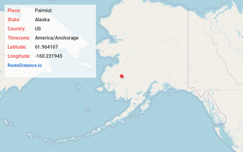
Full AddressPaimiut, AK
-
Coordinates61.9641667, -160.2319445
-
LocationAlaska , US
-
TimezoneAmerica/Anchorage
-
Current Local Time8:04:43 PM America/AnchorageThursday, June 19, 2025
-
Page Views0
About Paimiut
Paimuit is an unincorporated community in Kusilvak Census Area, Alaska, United States. It was unpopulated as of 2010, down from two residents in 2000. The nearest town is Hooper Bay, Alaska. The elevation is 30 feet. Paimiut is an Eskimo name meaning, "people of the stream's mouth".
Nearby Places
Found 8 places within 50 miles

Holy Cross
22.1 mi
35.6 km
Holy Cross, AK
Get directions
Stuyahok
24.2 mi
38.9 km
Stuyahok, AK
Get directions
Upper Kalskag
29.5 mi
47.5 km
Upper Kalskag, AK
Get directions
Lower Kalskag
31.6 mi
50.9 km
Lower Kalskag, AK
Get directions
Aniak
34.7 mi
55.8 km
Aniak, AK
Get directions

Russian Mission
37.7 mi
60.7 km
Russian Mission, AK 99657
Get directions

Chuathbaluk
42.1 mi
67.8 km
Chuathbaluk, AK
Get directions
Anvik
47.6 mi
76.6 km
Anvik, AK
Get directions
Location Links
Local Weather
Weather Information
Coming soon!
Location Map
Static map view of Paimiut, Alaska
Browse Places by Distance
Places within specific distances from Paimiut
Short Distances
Long Distances
Click any distance to see all places within that range from Paimiut. Distances shown in miles (1 mile ≈ 1.61 kilometers).