Distance to Paint Lick, Kentucky

Calculating Your Route
Just a moment while we process your request...
Location Information
-
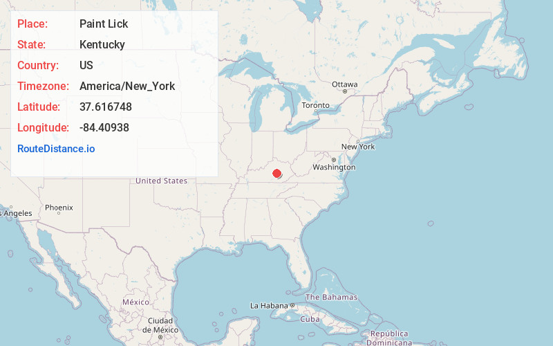
Full AddressPaint Lick, KY 40461
-
Coordinates37.6167483, -84.4093797
-
LocationPaint Lick , Kentucky , US
-
TimezoneAmerica/New_York
-
Current Local Time5:25:22 PM America/New_YorkSunday, May 25, 2025
-
Page Views0
About Paint Lick
Paint Lick is an unincorporated community in Garrard County, Kentucky, United States. It lies along Routes 21 and 52 east of the city of Lancaster, the county seat of Garrard County. In 2015, a new route for KY 52 opened, bypassing the town. Its elevation is 820 feet. It has a post office with the ZIP code 40461.


Nearby Places
Found 10 places within 50 miles

Buggytown
2.6 mi
4.2 km
Buggytown, KY 40475
Get directions
Nina
4.5 mi
7.2 km
Nina, KY 40461
Get directions
Cartersville
5.4 mi
8.7 km
Cartersville, KY 40403
Get directions
Peytontown
5.6 mi
9.0 km
Peytontown, KY 40475
Get directions
Farristown
6.0 mi
9.7 km
Farristown, KY 40403
Get directions
Caleast
6.6 mi
10.6 km
Caleast, KY 40475
Get directions
McCreary
6.9 mi
11.1 km
McCreary, KY 40444
Get directions

Berea
7.0 mi
11.3 km
Berea, KY
Get directions
Ruthton
8.1 mi
13.0 km
Ruthton, KY 40475
Get directions
Crow Valley
8.5 mi
13.7 km
Crow Valley, KY 40475
Get directions
Location Links
Local Weather
Weather Information
Coming soon!
Location Map
Static map view of Paint Lick, Kentucky
Browse Places by Distance
Places within specific distances from Paint Lick
Short Distances
Long Distances
Click any distance to see all places within that range from Paint Lick. Distances shown in miles (1 mile ≈ 1.61 kilometers).