Distance to Pajarito Mesa, New Mexico

Calculating Your Route
Just a moment while we process your request...
Location Information
-
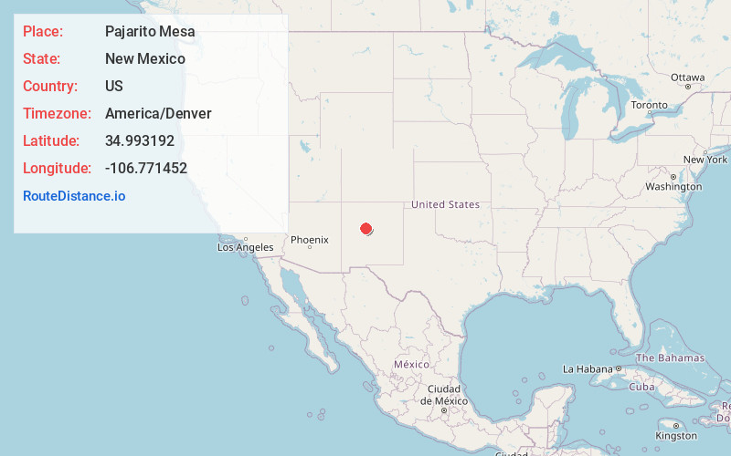
Full AddressPajarito Mesa, NM 87121
-
Coordinates34.9931919, -106.7714522
-
LocationPajarito Mesa , New Mexico , US
-
TimezoneAmerica/Denver
-
Current Local Time4:14:51 PM America/DenverWednesday, May 21, 2025
-
Page Views0
About Pajarito Mesa
Pajarito Mesa is a census-designated place in Bernalillo County, New Mexico, United States. At the 2010 census, the population was 579. It is part of the Albuquerque Metropolitan Statistical Area.
Nearby Places
Found 10 places within 50 miles

South Valley
5.4 mi
8.7 km
South Valley, NM
Get directions

Albuquerque
9.3 mi
15.0 km
Albuquerque, NM
Get directions

Bosque Farms
10.3 mi
16.6 km
Bosque Farms, NM 87068
Get directions

Peralta
11.7 mi
18.8 km
Peralta, NM
Get directions

Los Lunas
13.1 mi
21.1 km
Los Lunas, NM 87031
Get directions

Los Ranchos De Albuquerque
13.7 mi
22.0 km
Los Ranchos De Albuquerque, NM
Get directions

Valencia
14.0 mi
22.5 km
Valencia, NM 87031
Get directions

North Valley
16.1 mi
25.9 km
North Valley, NM
Get directions
El Cerro Mission
16.7 mi
26.9 km
El Cerro Mission, NM 87031
Get directions

Rio Rancho
17.7 mi
28.5 km
Rio Rancho, NM
Get directions
Location Links
Local Weather
Weather Information
Coming soon!
Location Map
Static map view of Pajarito Mesa, New Mexico
Browse Places by Distance
Places within specific distances from Pajarito Mesa
Short Distances
Long Distances
Click any distance to see all places within that range from Pajarito Mesa. Distances shown in miles (1 mile ≈ 1.61 kilometers).