Distance to Palentown, New York

Calculating Your Route
Just a moment while we process your request...
Location Information
-
Full AddressPalentown, NY 12446
-
Coordinates41.87889, -74.32194
-
LocationPalentown , New York , US
-
TimezoneAmerica/New_York
-
Current Local Time3:20:24 PM America/New_YorkTuesday, June 24, 2025
-
Page Views0
About Palentown
Palentown is a hamlet in Ulster County, New York, United States.
Named, like Palenville in Greene County, for a family that ran tanneries in the Catskills in the mid-19th century, Palentown is situated inside the Catskill Park in the northwest part of the town of Rochester.
Nearby Places
Found 10 places within 50 miles

Tabasco
2.5 mi
4.0 km
Tabasco, NY 12446
Get directions
Liebhardt
3.2 mi
5.1 km
Liebhardt, Rochester, NY 12404
Get directions
Winchell
4.3 mi
6.9 km
Winchell, Olive, NY 12461
Get directions
Peekamoose
4.5 mi
7.2 km
Peekamoose, Denning, NY 12740
Get directions
Yagerville
5.2 mi
8.4 km
Yagerville, NY 12458
Get directions
Sholam
6.1 mi
9.8 km
Sholam, Wawarsing, NY 12458
Get directions
Pataukunk
6.1 mi
9.8 km
Pataukunk, Kerhonkson, NY 12446
Get directions

West Shokan
6.4 mi
10.3 km
West Shokan, NY 12494
Get directions
Olivebridge
6.4 mi
10.3 km
Olivebridge, NY 12461
Get directions
Whitfield
6.7 mi
10.8 km
Whitfield, NY 12404
Get directions
Location Links
Local Weather
Weather Information
Coming soon!
Location Map
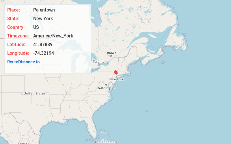
Static map view of Palentown, New York
Browse Places by Distance
Places within specific distances from Palentown
Short Distances
Long Distances
Click any distance to see all places within that range from Palentown. Distances shown in miles (1 mile ≈ 1.61 kilometers).