Distance to Palisade, Nevada

Calculating Your Route
Just a moment while we process your request...
Location Information
-
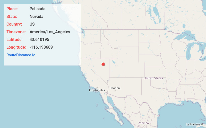
Full AddressPalisade, NV 89822
-
Coordinates40.6101953, -116.1986889
-
LocationNevada , US
-
TimezoneAmerica/Los_Angeles
-
Current Local Time1:06:37 AM America/Los_AngelesWednesday, June 18, 2025
-
Page Views0
About Palisade
Palisade is located in Eureka County in the northeastern section of the state of Nevada, in the western United States. It is about 10 miles south of Carlin, and about 33 miles southwest of Elko. Although now a virtual ghost town, it had a rich history following construction of the Transcontinental Railroad.
Nearby Places
Found 8 places within 50 miles

Carlin
8.7 mi
14.0 km
Carlin, NV 89822
Get directions

Crescent Valley
24.0 mi
38.6 km
Crescent Valley, NV
Get directions

Elko
28.4 mi
45.7 km
Elko, NV 89801
Get directions

Spring Creek
33.1 mi
53.3 km
Spring Creek, NV 89815
Get directions

Osino
35.9 mi
57.8 km
Osino, NV 89801
Get directions

Lamoille
38.6 mi
62.1 km
Lamoille, NV 89828
Get directions

Battle Mountain
38.6 mi
62.1 km
Battle Mountain, NV 89820
Get directions

Shanty Town
48.0 mi
77.2 km
Shanty Town, NV 89833
Get directions
Location Links
Local Weather
Weather Information
Coming soon!
Location Map
Static map view of Palisade, Nevada
Browse Places by Distance
Places within specific distances from Palisade
Short Distances
Long Distances
Click any distance to see all places within that range from Palisade. Distances shown in miles (1 mile ≈ 1.61 kilometers).