Distance to Palo Alto, California

Calculating Your Route
Just a moment while we process your request...
Location Information
-
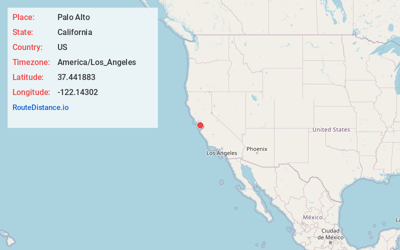
Full AddressPalo Alto, CA
-
Coordinates37.4418834, -122.1430195
-
LocationPalo Alto , California , US
-
TimezoneAmerica/Los_Angeles
-
Current Local Time1:18:58 AM America/Los_AngelesFriday, June 6, 2025
-
Website
-
Page Views0
About Palo Alto
Palo Alto is a city in California’s San Francisco Bay Area. It’s part of Silicon Valley and home to Stanford University. On campus, Cantor Arts Center’s broad collection includes a notable group of Rodin sculptures. University Avenue runs through downtown Palo Alto and has casual and upscale restaurants, plus well-known chain stores and independent boutiques. East are the marshland trails of Baylands Nature Preserve.


Nearby Places
Found 10 places within 50 miles

Mountain View
4.9 mi
7.9 km
Mountain View, CA
Get directions

Redwood City
5.5 mi
8.9 km
Redwood City, CA
Get directions

Sunnyvale
7.7 mi
12.4 km
Sunnyvale, CA
Get directions

Fremont
11.2 mi
18.0 km
Fremont, CA
Get directions

Union City
11.8 mi
19.0 km
Union City, CA
Get directions

Santa Clara
12.0 mi
19.3 km
Santa Clara, CA
Get directions

San Mateo
13.0 mi
20.9 km
San Mateo, CA
Get directions

Milpitas
13.4 mi
21.6 km
Milpitas, CA 95035
Get directions

San Jose
15.8 mi
25.4 km
San Jose, CA
Get directions

Hayward
16.0 mi
25.7 km
Hayward, CA
Get directions
Location Links
Local Weather
Weather Information
Coming soon!
Location Map
Static map view of Palo Alto, California
Browse Places by Distance
Places within specific distances from Palo Alto
Short Distances
Long Distances
Click any distance to see all places within that range from Palo Alto. Distances shown in miles (1 mile ≈ 1.61 kilometers).