Distance to Palos Heights, Illinois

Calculating Your Route
Just a moment while we process your request...
Location Information
-
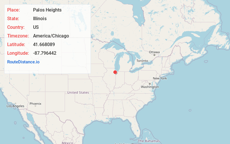
Full AddressPalos Heights, IL
-
Coordinates41.6680885, -87.7964416
-
LocationPalos Heights , Illinois , US
-
TimezoneAmerica/Chicago
-
Current Local Time3:34:47 AM America/ChicagoWednesday, June 4, 2025
-
Website
-
Page Views0
About Palos Heights
Palos Heights is a city in Cook County, Illinois, United States. It is a southwest suburb of Chicago. Per the 2020 census, the population was 12,068.


Nearby Places
Found 10 places within 50 miles

Palos Hills
2.2 mi
3.5 km
Palos Hills, IL 60465
Get directions

Chicago Ridge
2.5 mi
4.0 km
Chicago Ridge, IL
Get directions

Alsip
3.0 mi
4.8 km
Alsip, IL
Get directions

Orland Park
4.0 mi
6.4 km
Orland Park, IL
Get directions

Hickory Hills
4.2 mi
6.8 km
Hickory Hills, IL 60457
Get directions

Oak Lawn
4.4 mi
7.1 km
Oak Lawn, IL 60453
Get directions

Midlothian
5.0 mi
8.0 km
Midlothian, IL 60445
Get directions

Oak Forest
5.3 mi
8.5 km
Oak Forest, IL
Get directions

Bridgeview
5.7 mi
9.2 km
Bridgeview, IL
Get directions

Justice
5.7 mi
9.2 km
Justice, IL
Get directions
Location Links
Local Weather
Weather Information
Coming soon!
Location Map
Static map view of Palos Heights, Illinois
Browse Places by Distance
Places within specific distances from Palos Heights
Short Distances
Long Distances
Click any distance to see all places within that range from Palos Heights. Distances shown in miles (1 mile ≈ 1.61 kilometers).