Distance to Pamelia, New York

Calculating Your Route
Just a moment while we process your request...
Location Information
-
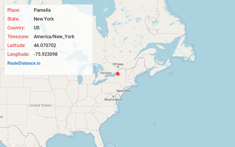
Full AddressPamelia, NY
-
Coordinates44.0707022, -75.9230976
-
LocationPamelia , New York , US
-
TimezoneAmerica/New_York
-
Current Local Time3:25:32 PM America/New_YorkTuesday, June 24, 2025
-
Page Views0
About Pamelia
Pamelia is a town in Jefferson County, New York, United States. The population was 3,160 at the 2010 census, up from 2,897 in 2000. The town was named for Pamelia Williams, wife of landowner and developer General Jacob J. Brown.
Pamelia is in the north-central part of the county and is north of Watertown.
Nearby Places
Found 10 places within 50 miles

Calcium
5.1 mi
8.2 km
Calcium, NY
Get directions

Brownville
5.3 mi
8.5 km
Brownville, NY
Get directions

Fort Drum
6.6 mi
10.6 km
Fort Drum, NY
Get directions

Watertown
6.8 mi
10.9 km
Watertown, NY 13601
Get directions

Clayton
13.9 mi
22.4 km
Clayton, NY 13624
Get directions

Carthage
16.8 mi
27.0 km
Carthage, NY 13619
Get directions

Alexandria Bay
18.3 mi
29.5 km
Alexandria Bay, NY
Get directions
Hounsfield
24.0 mi
38.6 km
Hounsfield, NY
Get directions
Ellisburg
25.6 mi
41.2 km
Ellisburg, NY
Get directions

Lowville
29.1 mi
46.8 km
Lowville, NY 13367
Get directions
Location Links
Local Weather
Weather Information
Coming soon!
Location Map
Static map view of Pamelia, New York
Browse Places by Distance
Places within specific distances from Pamelia
Short Distances
Long Distances
Click any distance to see all places within that range from Pamelia. Distances shown in miles (1 mile ≈ 1.61 kilometers).