Distance to and from Panama City Beach, Florida
Panama City Beach, FL
Panama City Beach
Florida
US
America/Chicago
Location Information
-
Full AddressPanama City Beach, FL
-
Coordinates30.2282283, -85.8885797
-
LocationPanama City Beach , Florida , US
-
TimezoneAmerica/Chicago
-
Current Local Time4:56:49 PM America/ChicagoSaturday, May 3, 2025
-
Website
-
Page Views0
About Panama City Beach
Panama City Beach is a waterfront town and vacation destination in northwest Florida. It's known for miles of white-sand beaches fronting the calm, clear waters of the Gulf of Mexico. St. Andrews State Park, one of 2 protected nature preserves nearby, is bordered by the Gulf and has hiking trails and fishing piers. Pier Park is the main shopping hub and a venue for major events.


Location Links
Local Weather
Weather Information
Coming soon!
Location Map
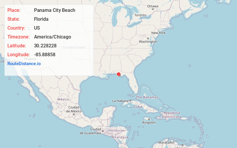
Static map view of Panama City Beach, Florida
Browse Places by Distance
Places within specific distances from Panama City Beach
Short Distances
Long Distances
Click any distance to see all places within that range from Panama City Beach. Distances shown in miles (1 mile ≈ 1.61 kilometers).