Distance to Panamint, California

Calculating Your Route
Just a moment while we process your request...
Location Information
-
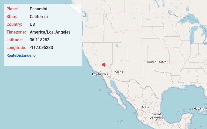
Full AddressPanamint, CA
-
Coordinates36.1182827, -117.0953327
-
LocationPanamint , California , US
-
TimezoneAmerica/Los_Angeles
-
Current Local Time11:10:31 PM America/Los_AngelesSaturday, May 24, 2025
-
Page Views0
About Panamint
Panamint City is a ghost town in the Panamint Range, near Death Valley, in Inyo County, California, US. It is also known by the official Board of Geographic Names as Panamint. Panamint was a boom town founded after silver and copper were found there in 1872. By 1874, the town had a population of about 2,000.


Nearby Places
Found 10 places within 50 miles

Harrisburg
16.9 mi
27.2 km
Harrisburg, CA
Get directions

Badwater
19.9 mi
32.0 km
Badwater, CA
Get directions

Homewood Canyon
22.4 mi
36.0 km
Homewood Canyon, CA 93592
Get directions

Valley Wells
23.2 mi
37.3 km
Valley Wells, CA
Get directions

Furnace Creek
26.7 mi
43.0 km
Furnace Creek, CA 92328
Get directions

Cow Creek
29.2 mi
47.0 km
Cow Creek, California 92328
Get directions

Darwin
29.6 mi
47.6 km
Darwin, CA 93522
Get directions

Searles Lake
29.7 mi
47.8 km
Searles Lake, California 93562
Get directions

Searles Valley
29.8 mi
48.0 km
Searles Valley, CA 93562
Get directions
Park Village
30.3 mi
48.8 km
Park Village, CA 92328
Get directions
Location Links
Local Weather
Weather Information
Coming soon!
Location Map
Static map view of Panamint, California
Browse Places by Distance
Places within specific distances from Panamint
Short Distances
Long Distances
Click any distance to see all places within that range from Panamint. Distances shown in miles (1 mile ≈ 1.61 kilometers).