Distance to Panhandle, Alabama

Calculating Your Route
Just a moment while we process your request...
Location Information
-
Full AddressPanhandle, Alabama 35963
-
Coordinates34.3795345, -85.9649739
-
LocationAlabama , US
-
TimezoneAmerica/Chicago
-
Current Local Time3:44:40 PM America/ChicagoThursday, July 3, 2025
-
Page Views0
Nearby Places
Found 10 places within 50 miles

Ophir
1.7 mi
2.7 km
Ophir, AL 35963
Get directions
Gilbert Crossroads
2.1 mi
3.4 km
Gilbert Crossroads, AL 35963
Get directions
Moores Crossroads
2.7 mi
4.3 km
Moores Crossroads, AL 35971
Get directions
Geraldine
2.8 mi
4.5 km
Geraldine, AL
Get directions
Ten Broeck
2.9 mi
4.7 km
Ten Broeck, AL 35971
Get directions
Chigger Hill
3.2 mi
5.1 km
Chigger Hill, AL 35971
Get directions
Skirum
3.9 mi
6.3 km
Skirum, AL 35963
Get directions
Mckestes
4.2 mi
6.8 km
Mckestes, AL 35963
Get directions
Luttrell
4.5 mi
7.2 km
Luttrell, AL 35971
Get directions
South Hill
4.7 mi
7.6 km
South Hill, AL 35975
Get directions
Location Links
Local Weather
Weather Information
Coming soon!
Location Map
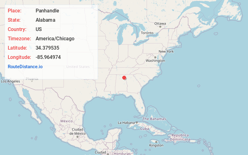
Static map view of Panhandle, Alabama
Browse Places by Distance
Places within specific distances from Panhandle
Short Distances
Long Distances
Click any distance to see all places within that range from Panhandle. Distances shown in miles (1 mile ≈ 1.61 kilometers).