Distance to Pantops, Virginia

Calculating Your Route
Just a moment while we process your request...
Location Information
-
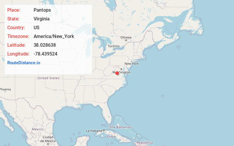
Full AddressPantops, VA
-
Coordinates38.0286382, -78.4395243
-
LocationPantops , Virginia , US
-
TimezoneAmerica/New_York
-
Current Local Time4:50:35 PM America/New_YorkTuesday, July 1, 2025
-
Page Views0
About Pantops
Pantops is a census-designated place in Albemarle County, Virginia.

Nearby Places
Found 10 places within 50 miles

Charlottesville
2.0 mi
3.2 km
Charlottesville, VA
Get directions

University of Virginia
3.7 mi
6.0 km
University of Virginia, Charlottesville, VA
Get directions

Lake Monticello
9.9 mi
15.9 km
Lake Monticello, VA 22963
Get directions

Crozet
14.5 mi
23.3 km
Crozet, VA
Get directions

Orange
23.3 mi
37.5 km
Orange, VA 22960
Get directions

Waynesboro
24.6 mi
39.6 km
Waynesboro, VA 22980
Get directions

Fishersville
29.2 mi
47.0 km
Fishersville, VA
Get directions

Stuarts Draft
32.3 mi
52.0 km
Stuarts Draft, VA
Get directions

Verona
33.2 mi
53.4 km
Verona, VA
Get directions

Massanetta Springs
33.5 mi
53.9 km
Massanetta Springs, VA
Get directions
Location Links
Local Weather
Weather Information
Coming soon!
Location Map
Static map view of Pantops, Virginia
Browse Places by Distance
Places within specific distances from Pantops
Short Distances
Long Distances
Click any distance to see all places within that range from Pantops. Distances shown in miles (1 mile ≈ 1.61 kilometers).