Distance to Paragon, Indiana

Calculating Your Route
Just a moment while we process your request...
Location Information
-
Full AddressParagon, IN
-
Coordinates39.3950468, -86.562499
-
LocationParagon , Indiana , US
-
TimezoneAmerica/Indianapolis
-
Page Views0
About Paragon
Paragon is a town in Ray Township, Morgan County, in the U.S. state of Indiana. The population was 556 at the 2020 census, down from 659 in 2010.


Nearby Places
Found 10 places within 50 miles

Gosport
6.3 mi
10.1 km
Gosport, IN 47433
Get directions

Martinsville
7.5 mi
12.1 km
Martinsville, IN 46151
Get directions

Painted Hills Lake Dam
10.9 mi
17.5 km
Painted Hills Lake Dam, Martinsville, IN 46151
Get directions
Ellettsville
11.6 mi
18.7 km
Ellettsville, IN
Get directions

Spencer
13.0 mi
20.9 km
Spencer, IN 47460
Get directions

Monrovia
13.4 mi
21.6 km
Monrovia, IN 46157
Get directions

Brooklyn
14.3 mi
23.0 km
Brooklyn, IN
Get directions

Cloverdale
14.9 mi
24.0 km
Cloverdale, IN 46120
Get directions

Bloomington
15.6 mi
25.1 km
Bloomington, IN
Get directions

Morgantown
16.2 mi
26.1 km
Morgantown, IN 46160
Get directions
Location Links
Local Weather
Weather Information
Coming soon!
Location Map
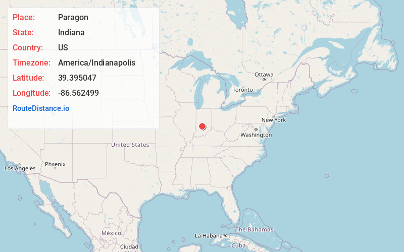
Static map view of Paragon, Indiana
Browse Places by Distance
Places within specific distances from Paragon
Short Distances
Long Distances
Click any distance to see all places within that range from Paragon. Distances shown in miles (1 mile ≈ 1.61 kilometers).