Distance to Paragould, Arkansas

Calculating Your Route
Just a moment while we process your request...
Location Information
-
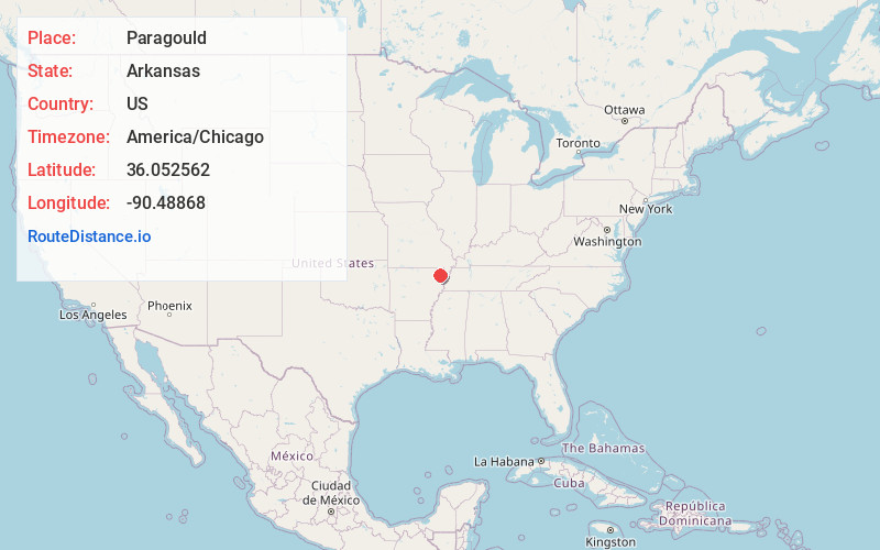
Full AddressParagould, AR 72450
-
Coordinates36.0525622, -90.4886797
-
LocationParagould , Arkansas , US
-
TimezoneAmerica/Chicago
-
Current Local Time9:08:50 PM America/ChicagoThursday, June 5, 2025
-
Page Views0
About Paragould
Paragould is the county seat of Greene County, and the 19th-largest city in Arkansas, in the United States. The city is located in northeastern Arkansas on the eastern edge of Crowley's Ridge, a geologic anomaly contained within the Arkansas Delta.


Nearby Places
Found 1 places within 50 miles

Location Links
Local Weather
Weather Information
Coming soon!
Location Map
Static map view of Paragould, Arkansas
Browse Places by Distance
Places within specific distances from Paragould
Short Distances
Long Distances
Click any distance to see all places within that range from Paragould. Distances shown in miles (1 mile ≈ 1.61 kilometers).