Distance to Paramount, California

Calculating Your Route
Just a moment while we process your request...
Location Information
-
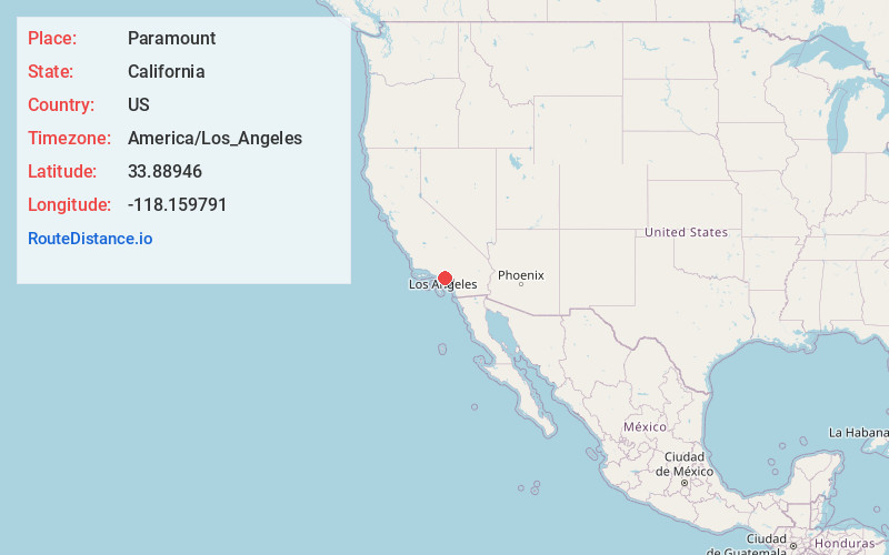
Full AddressParamount, CA
-
Coordinates33.8894598, -118.1597911
-
LocationParamount , California , US
-
TimezoneAmerica/Los_Angeles
-
Current Local Time5:06:16 PM America/Los_AngelesMonday, June 23, 2025
-
Website
-
Page Views0
About Paramount
Paramount is a city in Los Angeles County, California, United States. According to the 2010 census, the city had a total population of 54,098, down from 55,266 at the 2000 census.


Nearby Places
Found 10 places within 50 miles

Bellflower
2.5 mi
4.0 km
Bellflower, CA 90706
Get directions

Lakewood
3.1 mi
5.0 km
Lakewood, CA
Get directions

Compton
3.7 mi
6.0 km
Compton, CA
Get directions

Downey
3.8 mi
6.1 km
Downey, CA
Get directions

Lynwood
4.1 mi
6.6 km
Lynwood, CA
Get directions

Norwalk
5.4 mi
8.7 km
Norwalk, CA 90650
Get directions

South Gate
5.4 mi
8.7 km
South Gate, CA 90280
Get directions

Cerritos
5.7 mi
9.2 km
Cerritos, CA
Get directions

Carson
8.1 mi
13.0 km
Carson, CA
Get directions

South Whittier
8.1 mi
13.0 km
South Whittier, CA
Get directions
Location Links
Local Weather
Weather Information
Coming soon!
Location Map
Static map view of Paramount, California
Browse Places by Distance
Places within specific distances from Paramount
Short Distances
Long Distances
Click any distance to see all places within that range from Paramount. Distances shown in miles (1 mile ≈ 1.61 kilometers).