Distance to Parksville, Kentucky

Calculating Your Route
Just a moment while we process your request...
Location Information
-
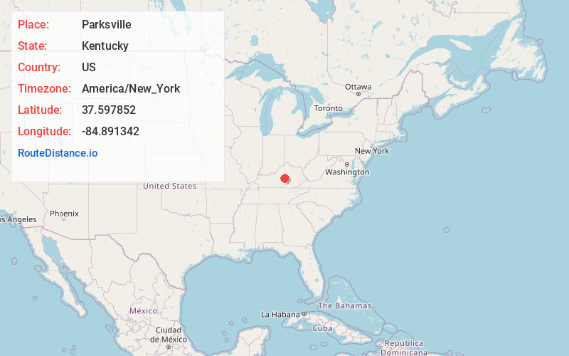
Full AddressParksville, KY 40440
-
Coordinates37.5978524, -84.8913423
-
LocationParksville , Kentucky , US
-
TimezoneAmerica/New_York
-
Current Local Time4:07:47 AM America/New_YorkWednesday, June 25, 2025
-
Page Views0
About Parksville
Parksville is a small unincorporated community on the Chaplin River in south central Boyle County, Kentucky, United States. It is located at the eastern end of Ky Route 300, where it intersects with Ky Route 34, near the US Post Office. The global position of Parksville is 37.597N latitude and -84.891W longitude.


Nearby Places
Found 10 places within 50 miles

Alum Springs
2.8 mi
4.5 km
Alum Springs, KY 40422
Get directions
Davis Hill
4.6 mi
7.4 km
Davis Hill, KY 40422
Get directions

Perryville
4.9 mi
7.9 km
Perryville, KY 40468
Get directions
Brumfield
5.0 mi
8.0 km
Brumfield, KY 40468
Get directions
Junction City
5.8 mi
9.3 km
Junction City, KY
Get directions
Shelby City
6.2 mi
10.0 km
Shelby City, Junction City, KY 40422
Get directions
Milledgeville
6.8 mi
10.9 km
Milledgeville, KY 40484
Get directions

Danville
7.3 mi
11.7 km
Danville, KY
Get directions
Moreland
7.7 mi
12.4 km
Moreland, KY 40437
Get directions
Dixville
8.1 mi
13.0 km
Dixville, KY 40330
Get directions
Location Links
Local Weather
Weather Information
Coming soon!
Location Map
Static map view of Parksville, Kentucky
Browse Places by Distance
Places within specific distances from Parksville
Short Distances
Long Distances
Click any distance to see all places within that range from Parksville. Distances shown in miles (1 mile ≈ 1.61 kilometers).