Distance to Parowan Gap Petroglyphs, Utah

Calculating Your Route
Just a moment while we process your request...
Location Information
-
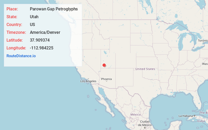
Full AddressParowan Gap Petroglyphs, Iron County, UT 84714
-
Coordinates37.9093741, -112.9842252
-
LocationIron County , Utah , US
-
TimezoneAmerica/Denver
-
Current Local Time9:22:06 AM America/DenverThursday, May 29, 2025
-
Website
-
Page Views0


Nearby Places
Found 10 places within 50 miles

Summit
7.9 mi
12.7 km
Summit, UT 84772
Get directions
Fort Johnson
9.4 mi
15.1 km
Fort Johnson, UT 84721
Get directions

Enoch
9.7 mi
15.6 km
Enoch, UT 84721
Get directions

Parowan
9.7 mi
15.6 km
Parowan, UT
Get directions
Wheatgrass
11.3 mi
18.2 km
Wheatgrass, UT 84761
Get directions

Paragonah
11.5 mi
18.5 km
Paragonah, UT
Get directions

Center Creek
13.9 mi
22.4 km
Center Creek, Utah
Get directions

Iron County
14.2 mi
22.9 km
Iron County, UT
Get directions

Cedar City
16.6 mi
26.7 km
Cedar City, UT
Get directions

Brian Head
16.6 mi
26.7 km
Brian Head, UT 84719
Get directions
Location Links
Local Weather
Weather Information
Coming soon!
Location Map
Static map view of Parowan Gap Petroglyphs, Utah
Browse Places by Distance
Places within specific distances from Parowan Gap Petroglyphs
Short Distances
Long Distances
Click any distance to see all places within that range from Parowan Gap Petroglyphs. Distances shown in miles (1 mile ≈ 1.61 kilometers).