Distance to Parshall, North Dakota

Calculating Your Route
Just a moment while we process your request...
Location Information
-
Full AddressParshall, ND 58770
-
Coordinates47.9533459, -102.1348915
-
LocationParshall , North Dakota , US
-
TimezoneAmerica/Chicago
-
Current Local Time1:25:55 PM America/ChicagoWednesday, June 18, 2025
-
Website
-
Page Views0
About Parshall
Parshall is a city lying within the jurisdictional boundaries of the Mandan, Hidatsa, and Arikara Nation. It is located on the Fort Berthold Indian Reservation in Mountrail County, North Dakota, United States. The population was 949 at the 2020 census.


Nearby Places
Found 7 places within 50 miles

New Town
16.5 mi
26.6 km
New Town, ND 58763
Get directions

Stanley
27.8 mi
44.7 km
Stanley, ND 58784
Get directions

Garrison
39.3 mi
63.2 km
Garrison, ND 58540
Get directions

Burlington
39.4 mi
63.4 km
Burlington, ND
Get directions

Minot
43.4 mi
69.8 km
Minot, ND
Get directions

Tioga
48.1 mi
77.4 km
Tioga, ND 58852
Get directions

Minot Air Force Base
49.3 mi
79.3 km
Minot Air Force Base, ND
Get directions
Location Links
Local Weather
Weather Information
Coming soon!
Location Map
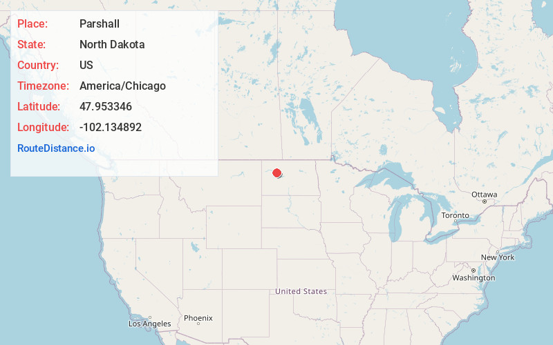
Static map view of Parshall, North Dakota
Browse Places by Distance
Places within specific distances from Parshall
Short Distances
Long Distances
Click any distance to see all places within that range from Parshall. Distances shown in miles (1 mile ≈ 1.61 kilometers).