Distance to Parsons, West Virginia

Calculating Your Route
Just a moment while we process your request...
Location Information
-
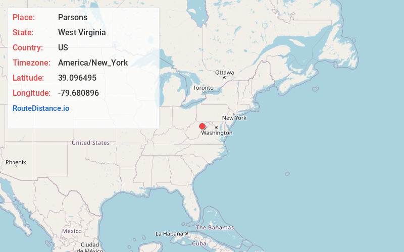
Full AddressParsons, WV
-
Coordinates39.096495, -79.680896
-
LocationParsons , West Virginia , US
-
TimezoneAmerica/New_York
-
Current Local Time5:26:26 AM America/New_YorkWednesday, June 18, 2025
-
Page Views0
About Parsons
Parsons is the largest city in and county seat of Tucker County, West Virginia, United States. The population was 1,322 at the 2020 census. Parsons is located at the confluence of the Shavers Fork and the Black Fork, forming the head of the Cheat River.


Nearby Places
Found 10 places within 50 miles

Belington
14.5 mi
23.3 km
Belington, WV 26250
Get directions

Elkins
14.8 mi
23.8 km
Elkins, WV 26241
Get directions

Philippi
19.7 mi
31.7 km
Philippi, WV 26416
Get directions

Grafton
24.8 mi
39.9 km
Grafton, WV 26354
Get directions

Terra Alta
25.1 mi
40.4 km
Terra Alta, WV 26764
Get directions

Kingwood
25.9 mi
41.7 km
Kingwood, WV 26537
Get directions

Oakland
26.0 mi
41.8 km
Oakland, MD 21550
Get directions

Mountain Lake Park
26.3 mi
42.3 km
Mountain Lake Park, MD 21550
Get directions

Buckhannon
30.4 mi
48.9 km
Buckhannon, WV 26201
Get directions

Petersburg
30.7 mi
49.4 km
Petersburg, WV 26847
Get directions
Location Links
Local Weather
Weather Information
Coming soon!
Location Map
Static map view of Parsons, West Virginia
Browse Places by Distance
Places within specific distances from Parsons
Short Distances
Long Distances
Click any distance to see all places within that range from Parsons. Distances shown in miles (1 mile ≈ 1.61 kilometers).