Distance to Partlow, Virginia

Calculating Your Route
Just a moment while we process your request...
Location Information
-
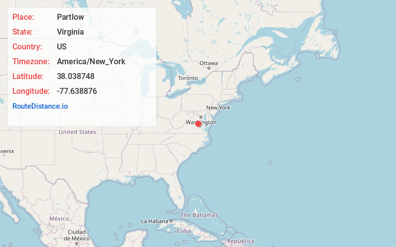
Full AddressPartlow, VA 22534
-
Coordinates38.038748, -77.6388764
-
LocationPartlow , Virginia , US
-
TimezoneAmerica/New_York
-
Current Local Time5:46:15 AM America/New_YorkFriday, June 6, 2025
-
Page Views0
About Partlow
Partlow is an unincorporated community in Spotsylvania County in the U.S. state of Virginia. Partlow is a small rural community located between Jefferson Davis Highway and Lake Anna. It sits at an elevation of 400 feet, and appears on the Lake Anna East U.S. Geological Survey Map.


Nearby Places
Found 10 places within 50 miles

Blantons
4.3 mi
6.9 km
Blantons, VA 22580
Get directions
Penneys Crossroad
5.3 mi
8.5 km
Penneys Crossroad, VA 22534
Get directions
Tylers
6.6 mi
10.6 km
Tylers, VA 23015
Get directions

Beaverdam
6.8 mi
10.9 km
Beaverdam, VA 23015
Get directions
Lake Caroline
7.3 mi
11.7 km
Lake Caroline, VA 22546
Get directions
Holliday
7.4 mi
11.9 km
Holliday, VA 23015
Get directions

Bumpass
7.5 mi
12.1 km
Bumpass, VA
Get directions
Snell
7.8 mi
12.6 km
Snell, VA 22551
Get directions
Terrell Store
8.0 mi
12.9 km
Terrell Store, VA 23015
Get directions
Colemans Mill
8.2 mi
13.2 km
Colemans Mill, VA 22580
Get directions
Location Links
Local Weather
Weather Information
Coming soon!
Location Map
Static map view of Partlow, Virginia
Browse Places by Distance
Places within specific distances from Partlow
Short Distances
Long Distances
Click any distance to see all places within that range from Partlow. Distances shown in miles (1 mile ≈ 1.61 kilometers).