Distance to Pascoag, Rhode Island

Calculating Your Route
Just a moment while we process your request...
Location Information
-
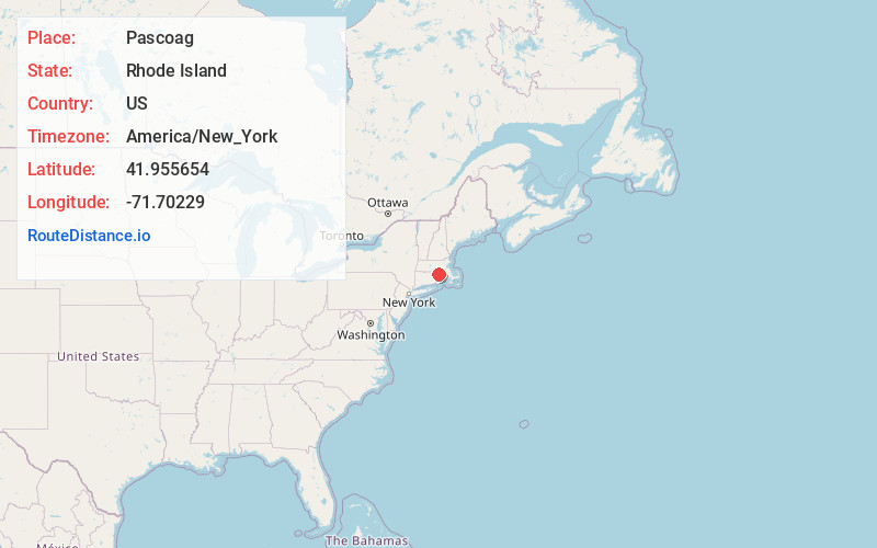
Full AddressPascoag, Burrillville, RI
-
Coordinates41.9556539, -71.7022899
-
NeighborhoodPascoag
-
LocationBurrillville , Rhode Island , US
-
TimezoneAmerica/New_York
-
Current Local Time2:37:53 PM America/New_YorkTuesday, June 10, 2025
-
Page Views0
About Pascoag
Pascoag is a census-designated place and village in Providence County, Rhode Island, United States. The population was 4,577 at the 2010 census. Pascoag is one of eight villages that make up the town of Burrillville.


Nearby Places
Found 10 places within 50 miles

Burrillville
1.2 mi
1.9 km
Burrillville, RI
Get directions

Glocester
3.6 mi
5.8 km
Glocester, RI
Get directions

North Smithfield
7.0 mi
11.3 km
North Smithfield, RI
Get directions

Douglas
7.1 mi
11.4 km
Douglas, MA 01516
Get directions

Smithfield
8.2 mi
13.2 km
Smithfield, RI
Get directions

Uxbridge
9.2 mi
14.8 km
Uxbridge, MA
Get directions

Woonsocket
10.2 mi
16.4 km
Woonsocket, RI 02895
Get directions

Blackstone
10.4 mi
16.7 km
Blackstone, MA 01504
Get directions

Webster
11.2 mi
18.0 km
Webster, MA 01570
Get directions

Scituate
11.8 mi
19.0 km
Scituate, RI
Get directions
Location Links
Local Weather
Weather Information
Coming soon!
Location Map
Static map view of Pascoag, Rhode Island
Browse Places by Distance
Places within specific distances from Pascoag
Short Distances
Long Distances
Click any distance to see all places within that range from Pascoag. Distances shown in miles (1 mile ≈ 1.61 kilometers).