Distance to Pasley, North Carolina

Calculating Your Route
Just a moment while we process your request...
Location Information
-
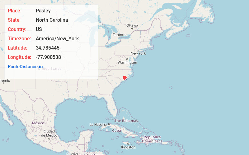
Full AddressPasley, NC 28466
-
Coordinates34.7854454, -77.9005375
-
LocationNorth Carolina , US
-
TimezoneAmerica/New_York
-
Current Local Time8:47:53 PM America/New_YorkTuesday, June 17, 2025
-
Page Views0
Nearby Places
Found 10 places within 50 miles

Murphey
2.8 mi
4.5 km
Murphey, NC 28458
Get directions
Greenevers
3.0 mi
4.8 km
Greenevers, NC 28458
Get directions
Register
5.7 mi
9.2 km
Register, NC 28458
Get directions
Chinquapin
5.7 mi
9.2 km
Chinquapin, NC
Get directions
Sholars Crossroads
5.9 mi
9.5 km
Sholars Crossroads, NC 28466
Get directions
Teachey
6.2 mi
10.0 km
Teachey, NC 28464
Get directions

Wallace
6.4 mi
10.3 km
Wallace, NC
Get directions
Blue Ridge
6.6 mi
10.6 km
Blue Ridge, North Carolina 28466
Get directions

Rose Hill
7.6 mi
12.2 km
Rose Hill, NC 28458
Get directions
Duff Creek
8.6 mi
13.8 km
Duff Creek, NC 28464
Get directions
Location Links
Local Weather
Weather Information
Coming soon!
Location Map
Static map view of Pasley, North Carolina
Browse Places by Distance
Places within specific distances from Pasley
Short Distances
Long Distances
Click any distance to see all places within that range from Pasley. Distances shown in miles (1 mile ≈ 1.61 kilometers).