Distance to Paso Robles, California

Calculating Your Route
Just a moment while we process your request...
Location Information
-
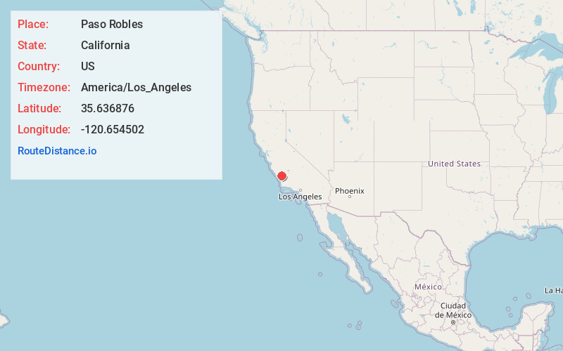
Full AddressPaso Robles, CA 93446
-
Coordinates35.6368759, -120.6545022
-
LocationPaso Robles , California , US
-
TimezoneAmerica/Los_Angeles
-
Current Local Time5:43:24 AM America/Los_AngelesMonday, June 2, 2025
-
Website
-
Page Views0
About Paso Robles
Paso Robles is a California city, known for its wineries and olive groves. In the northeast, the Estrella Warbird Museum displays military planes, weapons and memorabilia. Paso Robles Pioneer Museum features historical relics like farming tools, a 19th-century schoolhouse and a reconstructed jail. Surrounded by hills, Barney Schwartz Park has a lake and picnic spots. Ravine Water Park has slides and a wave pool.


Nearby Places
Found 1 places within 50 miles

Location Links
Local Weather
Weather Information
Coming soon!
Location Map
Static map view of Paso Robles, California
Browse Places by Distance
Places within specific distances from Paso Robles
Short Distances
Long Distances
Click any distance to see all places within that range from Paso Robles. Distances shown in miles (1 mile ≈ 1.61 kilometers).