Distance to Pataha, Washington

Calculating Your Route
Just a moment while we process your request...
Location Information
-
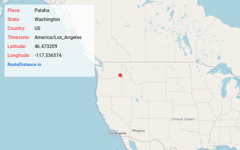
Full AddressPataha, WA 99347
-
Coordinates46.4732085, -117.5365741
-
LocationPataha , Washington , US
-
TimezoneAmerica/Los_Angeles
-
Current Local Time5:23:28 PM America/Los_AngelesFriday, June 20, 2025
-
Page Views0
About Pataha
Pataha is a small, unincorporated community in Garfield County, Washington, United States. It is located about 4 miles east of Pomeroy, the Garfield County seat. Pataha is home to the historic Houser Mill, a working water-powered flour mill originally built in 1879.


Nearby Places
Found 10 places within 50 miles

Pomeroy
3.1 mi
5.0 km
Pomeroy, WA 99347
Get directions

Colton
20.5 mi
33.0 km
Colton, WA 99113
Get directions

Uniontown
21.8 mi
35.1 km
Uniontown, WA 99179
Get directions

Clarkston Heights-Vineland
22.3 mi
35.9 km
Clarkston Heights-Vineland, WA 99403
Get directions

Dayton
23.2 mi
37.3 km
Dayton, WA 99328
Get directions

Clarkston
23.7 mi
38.1 km
Clarkston, WA 99403
Get directions

Pullman
24.5 mi
39.4 km
Pullman, WA 99163
Get directions

Asotin
25.0 mi
40.2 km
Asotin, WA
Get directions

Albion
25.8 mi
41.5 km
Albion, WA
Get directions

Lewiston
25.9 mi
41.7 km
Lewiston, ID 83501
Get directions
Location Links
Local Weather
Weather Information
Coming soon!
Location Map
Static map view of Pataha, Washington
Browse Places by Distance
Places within specific distances from Pataha
Short Distances
Long Distances
Click any distance to see all places within that range from Pataha. Distances shown in miles (1 mile ≈ 1.61 kilometers).