Distance to Patetown, North Carolina

Calculating Your Route
Just a moment while we process your request...
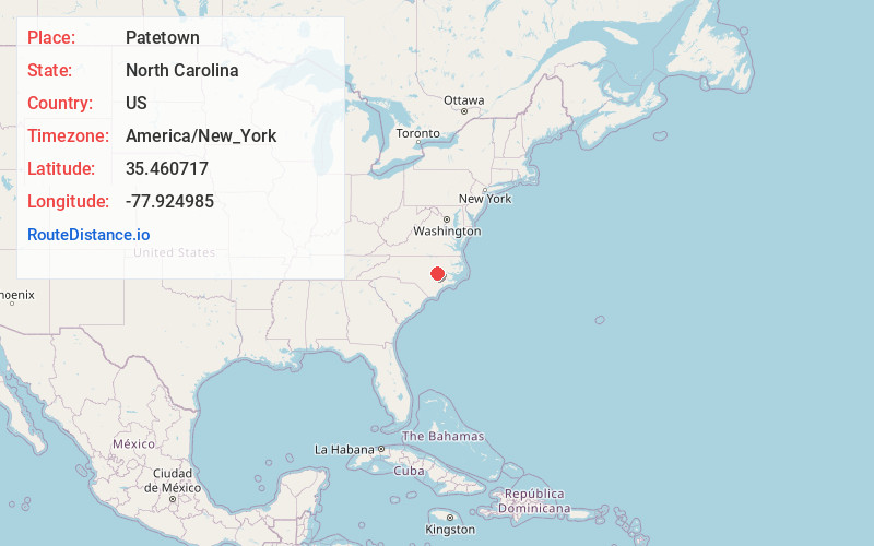
Location Information
-
Full AddressPatetown, NC 27534
-
Coordinates35.4607166, -77.9249846
-
LocationNorth Carolina , US
-
TimezoneAmerica/New_York
-
Current Local Time6:47:14 PM America/New_YorkTuesday, June 17, 2025
-
Page Views0
Nearby Places
Found 10 places within 50 miles

Saulston
2.1 mi
3.4 km
Saulston, NC 27534
Get directions
Langston
3.2 mi
5.1 km
Langston, NC 27534
Get directions
Belfast
4.0 mi
6.4 km
Belfast, NC 27530
Get directions
Pikeville
4.1 mi
6.6 km
Pikeville, NC 27863
Get directions
Faro
5.8 mi
9.3 km
Faro, NC 27883
Get directions

Eureka
6.3 mi
10.1 km
Eureka, NC 27830
Get directions

Fremont
6.5 mi
10.5 km
Fremont, NC 27830
Get directions

Goldsboro
6.6 mi
10.6 km
Goldsboro, NC
Get directions
Shines Crossroads
7.2 mi
11.6 km
Shines Crossroads, NC 28580
Get directions
Pike Crossroads
7.8 mi
12.6 km
Pike Crossroads, NC 27863
Get directions
Location Links
Local Weather
Weather Information
Coming soon!
Location Map
Static map view of Patetown, North Carolina
Browse Places by Distance
Places within specific distances from Patetown
Short Distances
Long Distances
Click any distance to see all places within that range from Patetown. Distances shown in miles (1 mile ≈ 1.61 kilometers).