Distance to Patoka, Indiana

Calculating Your Route
Just a moment while we process your request...
Location Information
-
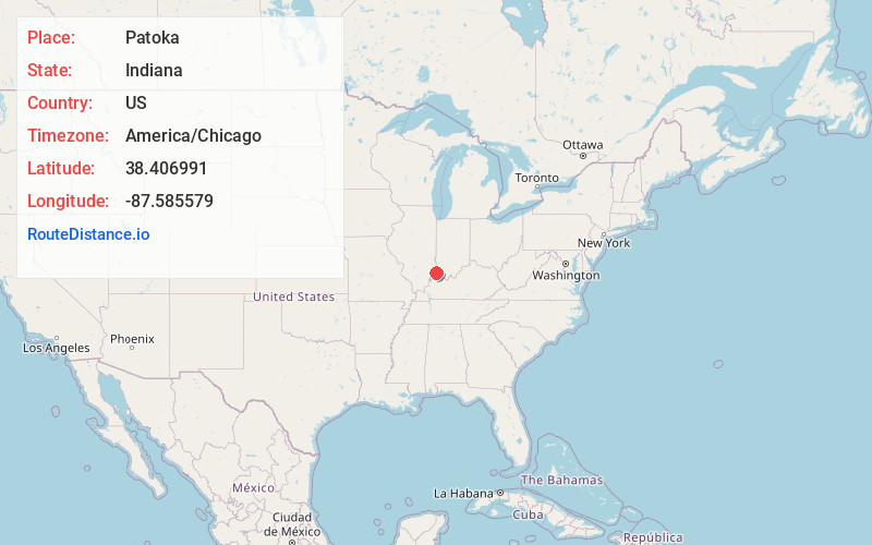
Full AddressPatoka, IN
-
Coordinates38.4069908, -87.5855787
-
LocationPatoka , Indiana , US
-
TimezoneAmerica/Chicago
-
Current Local Time3:45:17 PM America/ChicagoFriday, June 6, 2025
-
Page Views0
About Patoka
Patoka is the fourth largest town and sixth largest community in Gibson County, Indiana, United States. The population was 735 at the 2010 census.
Nearby Places
Found 10 places within 50 miles

Princeton
3.7 mi
6.0 km
Princeton, IN 47670
Get directions

Mt Carmel
9.5 mi
15.3 km
Mt Carmel, IL 62863
Get directions

Fort Branch
10.8 mi
17.4 km
Fort Branch, IN 47648
Get directions

Owensville
10.8 mi
17.4 km
Owensville, IN 47665
Get directions

Oakland City
13.8 mi
22.2 km
Oakland City, IN 47660
Get directions

Haubstadt
14.0 mi
22.5 km
Haubstadt, IN 47639
Get directions

Petersburg
17.6 mi
28.3 km
Petersburg, IN 47567
Get directions

Vincennes
18.9 mi
30.4 km
Vincennes, IN 47591
Get directions

Poseyville
19.6 mi
31.5 km
Poseyville, IN 47633
Get directions

Darmstadt
21.3 mi
34.3 km
Darmstadt, IN
Get directions
Location Links
Local Weather
Weather Information
Coming soon!
Location Map
Static map view of Patoka, Indiana
Browse Places by Distance
Places within specific distances from Patoka
Short Distances
Long Distances
Click any distance to see all places within that range from Patoka. Distances shown in miles (1 mile ≈ 1.61 kilometers).