Distance to Patterson, Virginia

Calculating Your Route
Just a moment while we process your request...
Location Information
-
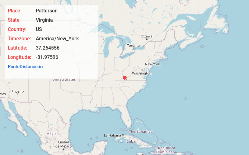
Full AddressPatterson, VA 24631
-
Coordinates37.264556, -81.9759598
-
LocationPatterson , Virginia , US
-
TimezoneAmerica/New_York
-
Current Local Time8:01:25 AM America/New_YorkFriday, May 30, 2025
-
Page Views0
About Patterson
Patterson is an unincorporated community in Buchanan County, Virginia, United States. Patterson is located on State Route 641, 6.8 miles east of Grundy. Patterson had a post office from September 11, 1936, to July 27, 1991.
The Patterson post office was established in 1936.
Nearby Places
Found 10 places within 50 miles

Roth
1.4 mi
2.3 km
Roth, VA 24631
Get directions
Hale Creek
1.8 mi
2.9 km
Hale Creek, VA 24631
Get directions

Grundy
6.8 mi
10.9 km
Grundy, VA 24614
Get directions
Skeggs
7.0 mi
11.3 km
Skeggs, VA 24631
Get directions

Vansant
7.1 mi
11.4 km
Vansant, VA
Get directions
Home Creek
7.9 mi
12.7 km
Home Creek, VA 24614
Get directions
Peapatch
10.3 mi
16.6 km
Peapatch, WV 24879
Get directions
Bradshaw
11.5 mi
18.5 km
Bradshaw, WV 24879
Get directions
Dan
11.5 mi
18.5 km
Dan, Bradshaw, WV 24879
Get directions
Jewell Ridge
11.7 mi
18.8 km
Jewell Ridge, VA 24622
Get directions
Location Links
Local Weather
Weather Information
Coming soon!
Location Map
Static map view of Patterson, Virginia
Browse Places by Distance
Places within specific distances from Patterson
Short Distances
Long Distances
Click any distance to see all places within that range from Patterson. Distances shown in miles (1 mile ≈ 1.61 kilometers).