Distance to Patton, Oklahoma

Calculating Your Route
Just a moment while we process your request...
Location Information
-
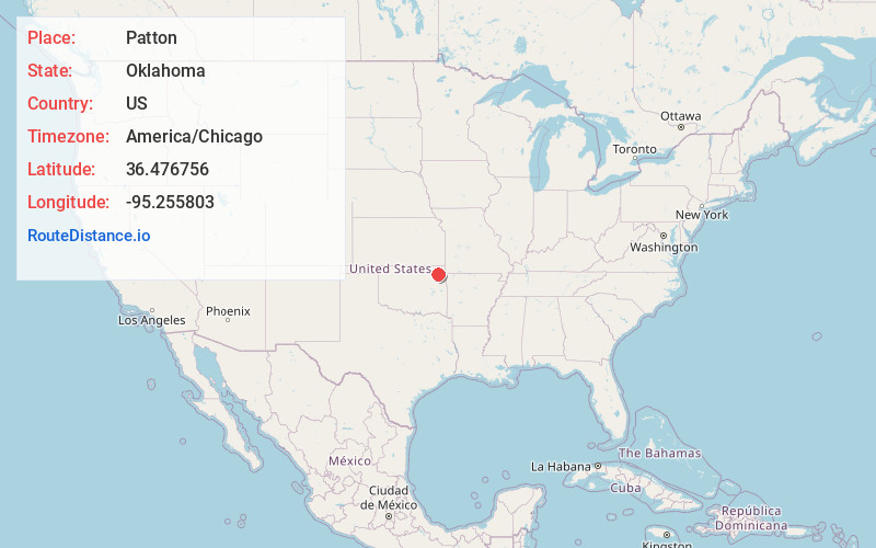
Full AddressPatton, OK 74330
-
Coordinates36.4767563, -95.2558032
-
LocationOklahoma , US
-
TimezoneAmerica/Chicago
-
Current Local Time5:55:30 PM America/ChicagoFriday, June 20, 2025
-
Page Views0

Nearby Places
Found 10 places within 50 miles

Adair
2.9 mi
4.7 km
Adair, OK
Get directions

Big Cabin
4.6 mi
7.4 km
Big Cabin, OK
Get directions

Green
6.5 mi
10.5 km
Green, OK 74330
Get directions
Pensacola
7.1 mi
11.4 km
Pensacola, OK 74367
Get directions
Sunsweet
8.2 mi
13.2 km
Sunsweet, OK 74301
Get directions
Strang
8.3 mi
13.4 km
Strang, OK 74367
Get directions
Okoee
9.4 mi
15.1 km
Okoee, OK 74301
Get directions
Tip
9.6 mi
15.4 km
Tip, OK 74361
Get directions

White Oak
9.9 mi
15.9 km
White Oak, OK 74301
Get directions

Chelsea
10.6 mi
17.1 km
Chelsea, OK 74016
Get directions
Location Links
Local Weather
Weather Information
Coming soon!
Location Map
Static map view of Patton, Oklahoma
Browse Places by Distance
Places within specific distances from Patton
Short Distances
Long Distances
Click any distance to see all places within that range from Patton. Distances shown in miles (1 mile ≈ 1.61 kilometers).