Distance to Paul B Johnson State Park, Mississippi

Calculating Your Route
Just a moment while we process your request...
Location Information
-
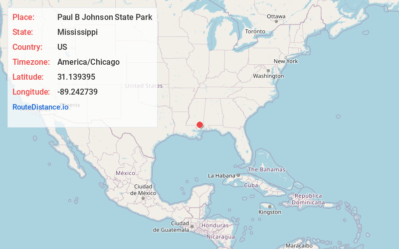
Full AddressPaul B Johnson State Park, 319 Geiger Lake Rd, Hattiesburg, MS 39401
-
Coordinates31.1393954, -89.2427393
-
Street319 Geiger Lake Rd
-
LocationHattiesburg , Mississippi , US
-
TimezoneAmerica/Chicago
-
Current Local Time10:14:48 PM America/ChicagoSunday, May 25, 2025
-
Page Views0
About Paul B Johnson State Park
State park with lake offers over 800 acres for camping, swimming, boating, fishing & more.


Nearby Places
Found 10 places within 50 miles

McLaurin
2.5 mi
4.0 km
McLaurin, MS 39401
Get directions
Epps
2.8 mi
4.5 km
Epps, MS 39401
Get directions
Barron Point
4.6 mi
7.4 km
Barron Point, MS 39401
Get directions
Currie
5.9 mi
9.5 km
Currie, MS 39401
Get directions

Dixie
6.4 mi
10.3 km
Dixie, MS 39401
Get directions

Brooklyn
6.5 mi
10.5 km
Brooklyn, MS 39425
Get directions
Ralston
6.9 mi
11.1 km
Ralston, MS 39401
Get directions
McCallum
7.0 mi
11.3 km
McCallum, MS 39401
Get directions
Four Points
8.4 mi
13.5 km
Four Points, MS 39465
Get directions
Belleville
8.5 mi
13.7 km
Belleville, MS 39462
Get directions
Location Links
Local Weather
Weather Information
Coming soon!
Location Map
Static map view of Paul B Johnson State Park, Mississippi
Browse Places by Distance
Places within specific distances from Paul B Johnson State Park
Short Distances
Long Distances
Click any distance to see all places within that range from Paul B Johnson State Park. Distances shown in miles (1 mile ≈ 1.61 kilometers).