Distance to Paul Spur, Arizona

Calculating Your Route
Just a moment while we process your request...
Location Information
-
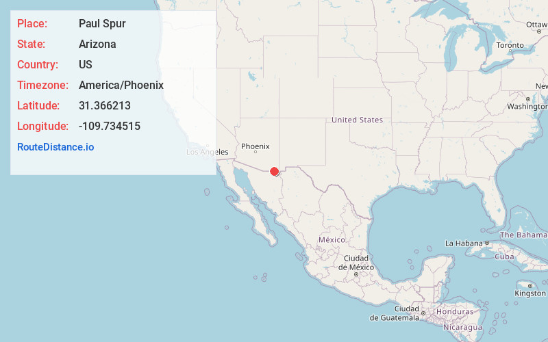
Full AddressPaul Spur, AZ 85607
-
Coordinates31.3662127, -109.7345151
-
LocationPaul Spur , Arizona , US
-
TimezoneAmerica/Phoenix
-
Current Local Time1:08:11 AM America/PhoenixSaturday, June 21, 2025
-
Page Views0
Nearby Places
Found 10 places within 50 miles

Double Adobe Elementary District
9.5 mi
15.3 km
Double Adobe Elementary District, AZ 85617
Get directions
Pirtleville
10.2 mi
16.4 km
Pirtleville, AZ
Get directions

Douglas
11.3 mi
18.2 km
Douglas, AZ 85607
Get directions

Bisbee
12.8 mi
20.6 km
Bisbee, AZ 85603
Get directions

Naco
12.8 mi
20.6 km
Naco, AZ
Get directions
Highland Park
13.5 mi
21.7 km
Highland Park, AZ 85603
Get directions
Neff
16.4 mi
26.4 km
Neff, AZ 85603
Get directions

McNeal
16.6 mi
26.7 km
McNeal, AZ 85617
Get directions
Elfrida
22.2 mi
35.7 km
Elfrida, AZ 85610
Get directions
Palominas
22.7 mi
36.5 km
Palominas, AZ 85615
Get directions
Location Links
Local Weather
Weather Information
Coming soon!
Location Map
Static map view of Paul Spur, Arizona
Browse Places by Distance
Places within specific distances from Paul Spur
Short Distances
Long Distances
Click any distance to see all places within that range from Paul Spur. Distances shown in miles (1 mile ≈ 1.61 kilometers).