Distance to Paulsell, California

Calculating Your Route
Just a moment while we process your request...
Location Information
-
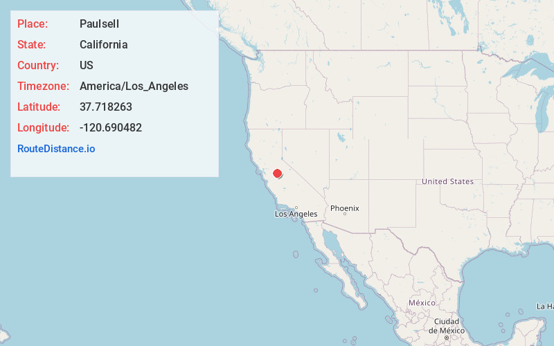
Full AddressPaulsell, CA 95361
-
Coordinates37.7182629, -120.6904823
-
LocationPaulsell , California , US
-
TimezoneAmerica/Los_Angeles
-
Current Local Time4:36:57 AM America/Los_AngelesFriday, May 30, 2025
-
Page Views0
Nearby Places
Found 10 places within 50 miles

Warnerville
5.2 mi
8.4 km
Warnerville, CA 95386
Get directions

Waterford
6.6 mi
10.6 km
Waterford, CA
Get directions

Knights Ferry
7.1 mi
11.4 km
Knights Ferry, CA 95361
Get directions

Claribel
7.3 mi
11.7 km
Claribel, CA 95361
Get directions

Hickman
7.4 mi
11.9 km
Hickman, CA 95323
Get directions

East Oakdale
7.8 mi
12.6 km
East Oakdale, CA 95361
Get directions

Cooperstown
8.2 mi
13.2 km
Cooperstown, CA 95327
Get directions

Oakdale
9.2 mi
14.8 km
Oakdale, CA 95361
Get directions
Montpelier
12.0 mi
19.3 km
Montpelier, CA 95316
Get directions

Hughson
12.5 mi
20.1 km
Hughson, CA 95326
Get directions
Location Links
Local Weather
Weather Information
Coming soon!
Location Map
Static map view of Paulsell, California
Browse Places by Distance
Places within specific distances from Paulsell
Short Distances
Long Distances
Click any distance to see all places within that range from Paulsell. Distances shown in miles (1 mile ≈ 1.61 kilometers).