Distance to Pavilion Township, Michigan

Calculating Your Route
Just a moment while we process your request...
Location Information
-
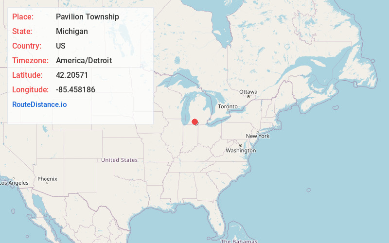
Full AddressPavilion Township, MI
-
Coordinates42.2057097, -85.4581859
-
LocationPavilion Township , Michigan , US
-
TimezoneAmerica/Detroit
-
Current Local Time11:07:20 AM America/DetroitFriday, June 13, 2025
-
Page Views0
About Pavilion Township
Pavilion Charter Township is a charter township of Kalamazoo County in the U.S. state of Michigan. The population was 6,387 at the 2020 census, up from 6,222 at the 2010 census.

Nearby Places
Found 10 places within 50 miles

Pomeroy
1.5 mi
2.4 km
Pomeroy, Pavilion Township, MI 49088
Get directions
Cooks Mill
2.0 mi
3.2 km
Cooks Mill, Pavilion Township, MI 49048
Get directions
Scotts
2.4 mi
3.9 km
Scotts, MI 49088
Get directions
Adams Park
3.7 mi
6.0 km
Adams Park, MI 49097
Get directions

Indian Lake
3.7 mi
6.0 km
Indian Lake, Michigan
Get directions
Lemon Park
4.2 mi
6.8 km
Lemon Park, Brady Township, MI 49097
Get directions
Ramona Park
4.4 mi
7.1 km
Ramona Park, Portage, MI 49002
Get directions
Lawndale
5.6 mi
9.0 km
Lawndale, Comstock Twp, MI 49053
Get directions

Comstock Twp
5.7 mi
9.2 km
Comstock Twp, MI
Get directions
East Comstock
5.8 mi
9.3 km
East Comstock, Comstock Twp, MI 49048
Get directions
Location Links
Local Weather
Weather Information
Coming soon!
Location Map
Static map view of Pavilion Township, Michigan
Browse Places by Distance
Places within specific distances from Pavilion Township
Short Distances
Long Distances
Click any distance to see all places within that range from Pavilion Township. Distances shown in miles (1 mile ≈ 1.61 kilometers).