Distance to Pawleys Island, South Carolina

Calculating Your Route
Just a moment while we process your request...
Location Information
-
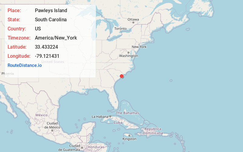
Full AddressPawleys Island, SC
-
Coordinates33.4332236, -79.1214313
-
LocationPawleys Island , South Carolina , US
-
TimezoneAmerica/New_York
-
Current Local Time4:30:46 AM America/New_YorkWednesday, June 18, 2025
-
Website
-
Page Views0
About Pawleys Island
Pawleys Island is a town in South Carolina, on the barrier island of the same name. It’s known for its beaches and sand dunes. Several of the houses in the Pawleys Island Historic District date to the 18th century. North of town, Brookgreen Gardens has a zoo, sculptures and gardens with native plants. Nearby, Huntington Beach State Park is home to Atalaya, a Moorish-style mansion, plus beaches and wetlands.


Nearby Places
Found 10 places within 50 miles

Murrells Inlet
9.4 mi
15.1 km
Murrells Inlet, SC 29576
Get directions

Georgetown
10.7 mi
17.2 km
Georgetown, SC 29440
Get directions

Garden City
12.8 mi
20.6 km
Garden City, SC
Get directions

Surfside Beach
14.7 mi
23.7 km
Surfside Beach, SC 29575
Get directions

Dunbar
15.2 mi
24.5 km
Dunbar, SC 29440
Get directions
Bucksport
16.1 mi
25.9 km
Bucksport, SC 29527
Get directions

Socastee
18.7 mi
30.1 km
Socastee, SC
Get directions

North Santee
20.4 mi
32.8 km
North Santee, SC 29440
Get directions
Forestbrook
22.1 mi
35.6 km
Forestbrook, SC
Get directions

Myrtle Beach
22.8 mi
36.7 km
Myrtle Beach, SC
Get directions
Location Links
Local Weather
Weather Information
Coming soon!
Location Map
Static map view of Pawleys Island, South Carolina
Browse Places by Distance
Places within specific distances from Pawleys Island
Short Distances
Long Distances
Click any distance to see all places within that range from Pawleys Island. Distances shown in miles (1 mile ≈ 1.61 kilometers).