Distance to Pawnee, Texas

Calculating Your Route
Just a moment while we process your request...
Location Information
-
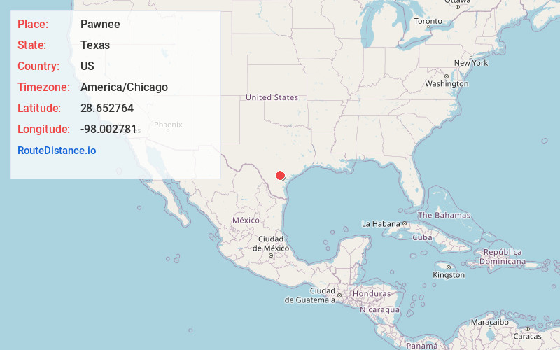
Full AddressPawnee, TX
-
Coordinates28.6527644, -98.0027813
-
LocationPawnee , Texas , US
-
TimezoneAmerica/Chicago
-
Current Local Time8:49:30 PM America/ChicagoTuesday, June 24, 2025
-
Page Views0
About Pawnee
Pawnee is a census-designated place in Bee County, Texas, United States. The population was 140 at the 2020 census.
Nearby Places
Found 10 places within 50 miles

Pettus
12.4 mi
20.0 km
Pettus, TX 78146
Get directions

Tuleta
13.7 mi
22.0 km
Tuleta, TX 78102
Get directions

Kenedy
14.8 mi
23.8 km
Kenedy, TX 78119
Get directions

Karnes City
17.2 mi
27.7 km
Karnes City, TX 78118
Get directions

Three Rivers
17.2 mi
27.7 km
Three Rivers, TX 78071
Get directions
Blue Berry Hill
22.6 mi
36.4 km
Blue Berry Hill, TX 78102
Get directions

Falls City
22.8 mi
36.7 km
Falls City, TX 78113
Get directions

George West
23.2 mi
37.3 km
George West, TX 78022
Get directions

Beeville
23.3 mi
37.5 km
Beeville, TX 78102
Get directions

Runge
23.7 mi
38.1 km
Runge, TX 78151
Get directions
Location Links
Local Weather
Weather Information
Coming soon!
Location Map
Static map view of Pawnee, Texas
Browse Places by Distance
Places within specific distances from Pawnee
Short Distances
Long Distances
Click any distance to see all places within that range from Pawnee. Distances shown in miles (1 mile ≈ 1.61 kilometers).