Distance to Paxson, Alaska

Calculating Your Route
Just a moment while we process your request...
Location Information
-
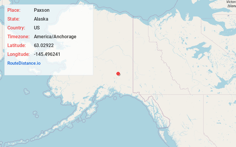
Full AddressPaxson, AK 99737
-
Coordinates63.0292198, -145.496241
-
LocationPaxson , Alaska , US
-
TimezoneAmerica/Anchorage
-
Current Local Time9:45:18 AM America/AnchorageSaturday, June 21, 2025
-
Page Views0
About Paxson
Paxson is a census-designated place in Copper River Census Area, Alaska, United States. As of the 2020 census, its population was 26, down from 40 in 2010. It is located on the Richardson Highway at the junction with the Denali Highway.


Nearby Places
Found 1 places within 50 miles

Location Links
Local Weather
Weather Information
Coming soon!
Location Map
Static map view of Paxson, Alaska
Browse Places by Distance
Places within specific distances from Paxson
Short Distances
Long Distances
Click any distance to see all places within that range from Paxson. Distances shown in miles (1 mile ≈ 1.61 kilometers).