Distance to Paxton, Nebraska

Calculating Your Route
Just a moment while we process your request...
Location Information
-
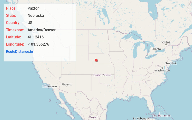
Full AddressPaxton, NE 69155
-
Coordinates41.1241604, -101.3562761
-
LocationPaxton , Nebraska , US
-
TimezoneAmerica/Denver
-
Current Local Time3:11:56 AM America/DenverTuesday, July 1, 2025
-
Page Views0
About Paxton
Paxton is a village in Keith County, Nebraska, United States. The population was 523 at the 2010 census.

Nearby Places
Found 7 places within 50 miles

Sutherland
12.1 mi
19.5 km
Sutherland, NE 69165
Get directions

Hershey
18.6 mi
29.9 km
Hershey, NE
Get directions

Ogallala
19.0 mi
30.6 km
Ogallala, NE 69153
Get directions

Grant
27.3 mi
43.9 km
Grant, NE 69140
Get directions

North Platte
31.0 mi
49.9 km
North Platte, NE 69101
Get directions

Imperial
44.6 mi
71.8 km
Imperial, NE 69033
Get directions

Julesburg
48.2 mi
77.6 km
Julesburg, CO 80737
Get directions
Location Links
Local Weather
Weather Information
Coming soon!
Location Map
Static map view of Paxton, Nebraska
Browse Places by Distance
Places within specific distances from Paxton
Short Distances
Long Distances
Click any distance to see all places within that range from Paxton. Distances shown in miles (1 mile ≈ 1.61 kilometers).