Distance to Paxton, Florida

Calculating Your Route
Just a moment while we process your request...
Location Information
-
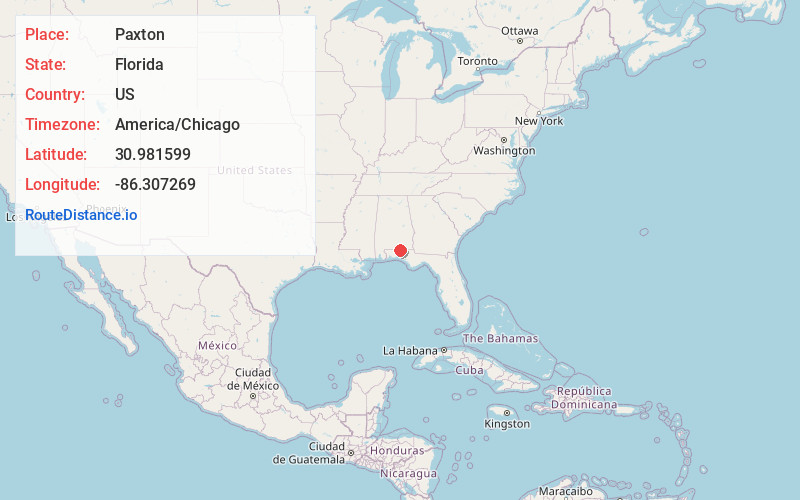
Full AddressPaxton, FL 32567
-
Coordinates30.9815994, -86.3072685
-
LocationPaxton , Florida , US
-
TimezoneAmerica/Chicago
-
Current Local Time12:41:36 AM America/ChicagoFriday, June 20, 2025
-
Page Views0
About Paxton
Paxton is a town in Walton County, Florida, United States. Located near Britton Hill on the Alabama–Florida state line, it has the highest elevation of any in Florida. The Town of Paxton is located on the Florida Panhandle, and is part of the Crestview–Fort Walton Beach–Destin, Florida Metropolitan Statistical Area.


Nearby Places
Found 10 places within 50 miles

Florala
2.0 mi
3.2 km
Florala, AL 36442
Get directions

Samson
17.9 mi
28.8 km
Samson, AL 36477
Get directions

Kinston
18.1 mi
29.1 km
Kinston, AL 36453
Get directions

Babbie
20.6 mi
33.2 km
Babbie, AL
Get directions

Opp
21.0 mi
33.8 km
Opp, AL 36467
Get directions

Defuniak Springs
21.3 mi
34.3 km
Defuniak Springs, FL
Get directions

Crestview
22.2 mi
35.7 km
Crestview, FL
Get directions

Andalusia
24.9 mi
40.1 km
Andalusia, AL
Get directions

Geneva
26.5 mi
42.6 km
Geneva, AL 36340
Get directions

Ponce De Leon
28.3 mi
45.5 km
Ponce De Leon, FL 32455
Get directions
Location Links
Local Weather
Weather Information
Coming soon!
Location Map
Static map view of Paxton, Florida
Browse Places by Distance
Places within specific distances from Paxton
Short Distances
Long Distances
Click any distance to see all places within that range from Paxton. Distances shown in miles (1 mile ≈ 1.61 kilometers).