Distance to Paydown, Missouri

Calculating Your Route
Just a moment while we process your request...
Location Information
-
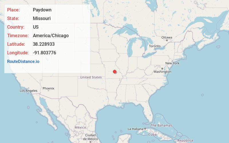
Full AddressPaydown, MO 65013
-
Coordinates38.2289334, -91.8037759
-
LocationPaydown , Missouri , US
-
TimezoneAmerica/Chicago
-
Current Local Time11:07:28 AM America/ChicagoThursday, June 19, 2025
-
Page Views0
About Paydown
Paydown is an unincorporated community in northeastern Maries County, Missouri, United States.
The community is located along Missouri Route N approximately 2.5 miles northeast of Bend and five miles southwest of Belle. The Gasconade River flows past one-half mile west of the community.
Nearby Places
Found 10 places within 50 miles

Bend
3.3 mi
5.3 km
Bend, Jackson Township, MO 65013
Get directions

Belle
6.0 mi
9.7 km
Belle, MO 65013
Get directions

Vienna
8.3 mi
13.4 km
Vienna, MO 65582
Get directions

Freeburg
8.8 mi
14.2 km
Freeburg, MO 65035
Get directions

Bland
10.5 mi
16.9 km
Bland, MO 65014
Get directions
Davis Ford
10.9 mi
17.5 km
Davis Ford, Spring Creek Township, MO 65580
Get directions
Old Bland
11.5 mi
18.5 km
Old Bland, Clay Township, MO 65014
Get directions
Argyle
12.8 mi
20.6 km
Argyle, MO
Get directions
Venus
12.9 mi
20.8 km
Venus, Boone Township, MO 65058
Get directions
Stickney
13.2 mi
21.2 km
Stickney, Dry Creek Township, MO 65459
Get directions
Location Links
Local Weather
Weather Information
Coming soon!
Location Map
Static map view of Paydown, Missouri
Browse Places by Distance
Places within specific distances from Paydown
Short Distances
Long Distances
Click any distance to see all places within that range from Paydown. Distances shown in miles (1 mile ≈ 1.61 kilometers).