Distance to Paytes, Virginia

Calculating Your Route
Just a moment while we process your request...
Location Information
-
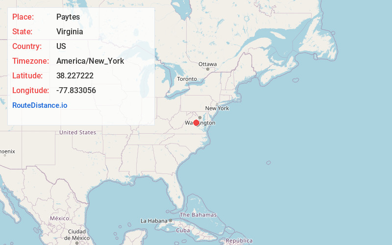
Full AddressPaytes, VA 22551
-
Coordinates38.227222, -77.833056
-
LocationPaytes , Virginia , US
-
TimezoneAmerica/New_York
-
Current Local Time12:13:30 PM America/New_YorkThursday, June 19, 2025
-
Page Views0
About Paytes
Paytes is an unincorporated community in Spotsylvania County, in the U.S. state of Virginia. The community is marked at the intersection of Lawyer's Road and Catharpin Road by an electrical substation owned by Rappahannock Electric Co-op.
Nearby Places
Found 10 places within 50 miles

Gold Dale
3.1 mi
5.0 km
Gold Dale, VA 22508
Get directions
Soapstone Branch
3.5 mi
5.6 km
Soapstone Branch, Virginia 22542
Get directions
Tatum
3.6 mi
5.8 km
Tatum, VA 22567
Get directions
Panier
4.9 mi
7.9 km
Panier, VA 22551
Get directions
Parker
5.3 mi
8.5 km
Parker, VA 22508
Get directions
Danton
5.4 mi
8.7 km
Danton, VA 22567
Get directions

Locust Grove
5.5 mi
8.9 km
Locust Grove, VA 22508
Get directions
Holladay
7.6 mi
12.2 km
Holladay, VA 23117
Get directions

Lahore
7.7 mi
12.4 km
Lahore, VA 22960
Get directions
Burr Hill
8.2 mi
13.2 km
Burr Hill, VA 22433
Get directions
Location Links
Local Weather
Weather Information
Coming soon!
Location Map
Static map view of Paytes, Virginia
Browse Places by Distance
Places within specific distances from Paytes
Short Distances
Long Distances
Click any distance to see all places within that range from Paytes. Distances shown in miles (1 mile ≈ 1.61 kilometers).